


THE CHILL CONTINUES...
After the coldest weekend in the Midwest since early March, the chill continues. A cold front will move through by Monday morning and bring in a reinforcing shot of cold air that will last into Halloween.

That will keep high temperatures below normal Monday and Tuesday afternoons -


This year will be the coldest Halloween in over 10 years - the last Halloween with high temperatures in the low 40s was back in 2006. Trick-or-treating will likely be done in coats as temperatures drop into the 30s quickly after sunset. Luckily the wind won't be overly strong, but it will be a bit bone-chilling.
It will be a cool and pretty calm week with temperatures eventually moderating closer to seasonal values by the end of the week.
After a little bump up in temperatures it appears we will dive back down to below normal temperatures. Here's an example with the 16 outlook for Cedar Rapids.

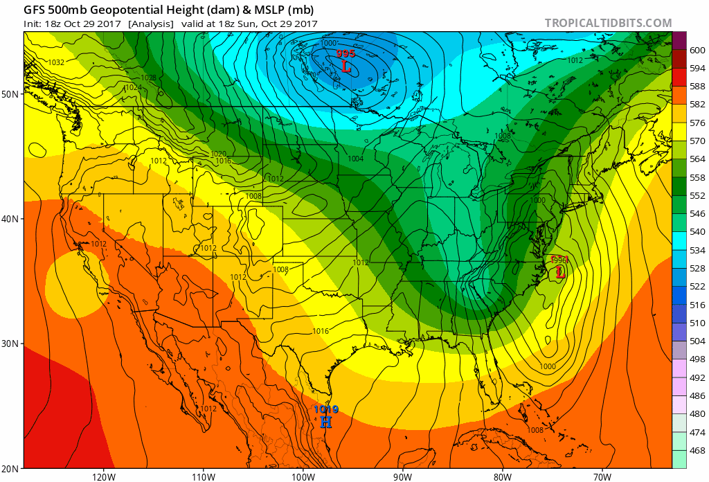
With the temperature fluctuations we will have a few storm systems move through the area. In terms of precipitation, the brunt of the storms will be just to the north of my local area (which is consistent with the time of year). Here's the precipitation for the next seven days:

And projected snowfall:

For now we're still in the chill and this, of course, is just the beginning...
RK


