


MORE RAIN ON THE WAY....
It was a mighty fine weekend across the Midwest. Some of the nicest days we've had so far this year with temperatures above normal and humidity staying low. There were a few showers and storms late Saturday night and once again Sunday afternoon, but nothing that would get in the way of being outdoors! Temperatures in my local area once again pushed 80 Sunday afternoon.

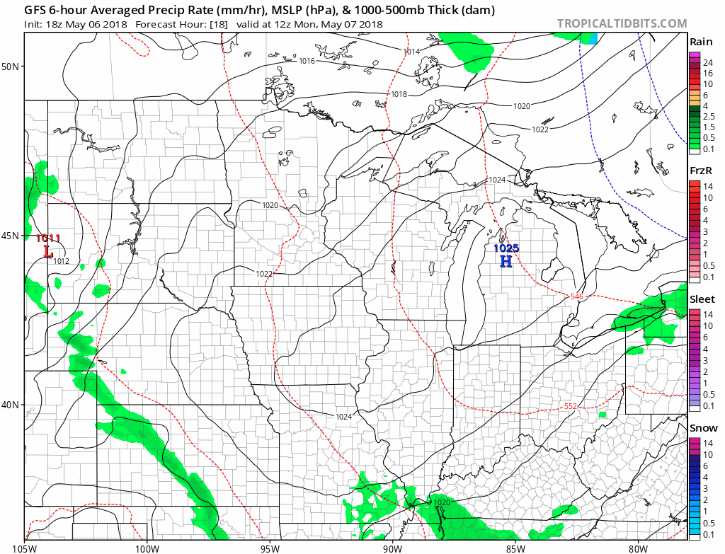
Now the weather over the next week won't be anything too out of the ordinary. It will be warm and there will be showers and thunderstorms. We've already gotten some decent rainfall to start the month of May..

With additional rain on the way we do need to keep an eye on rivers in the area that are already above flood stage.

Orange and red indicate rivers above flood stage and yellow means the river is nearing flood stage. The Cedar River in Cedar Falls is in moderate flooding as well as the Mississippi in Dubuque. Any additional rain could lead to the rivers getting even higher. The week will start off calm with sunshine and warm temperatures Monday. In fact I think the GFS is running 5-7 degrees to cool.

Late Tuesday into Wednesday the next storm moves into the Midwest and moisture will once again surge north and stay in place through the end of the week. We will have multiple chances for showers and thunderstorms over the next seven days. The severe weather potential however looks low at this time.
When it's all said and done there should be an additional one to three inches in much of the Midwest. This could shift here and there, but it's looking pretty widespread. Seven day rainfall totals on the GFS and Euro are below and look pretty similar.


We'll have to watch for the rises on the rivers. But for now we're continuing to green up and get some still beneficial rain.
RK


