


WARMTH AND STRONG STORMS...
It appears we had a little spring break from spring with temperatures the last three days in the 50s and low 60s. Now the warmth will be returning as we start a new week, but the pattern remains active.

Temperatures will get back into the 60s, 70s and close to 80 in the Upper Midwest Monday. Humidity is going to be higher, too, with dew points in the 60s.

This is because of a boundary - a front - that is stalled out in the Upper Midwest.
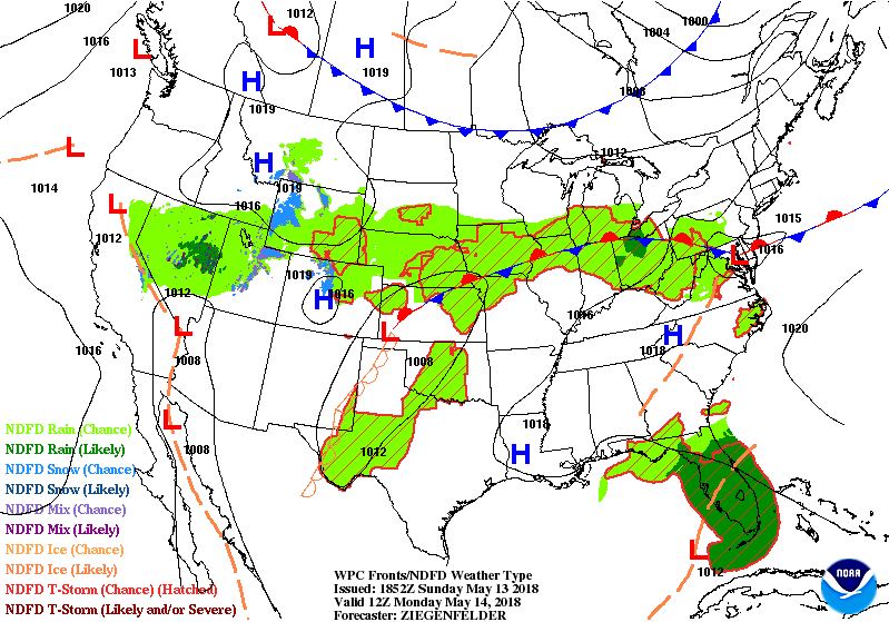
It will once again be the focus for showers and thunderstorms Monday. There will be the potential for some more widespread thunderstorms and some stronger storms. This is because there will be warmer temperatures and some more sunshine which will allow for greater instability.

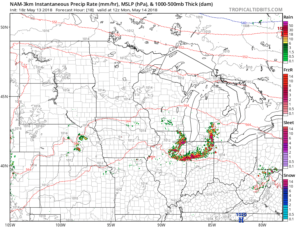
CAPE (convective available potential energy) values will be upward of 1000, which is sufficient for strong to severe thunderstorms. As of Sunday night this is the outlook from the Storm Prediction Center.

Strong winds and large hail will be the main threats with these storms. There will be some storms in the morning first across Iowa and Illinois. That will have an impact on where the boundary ends up and that's why the thinking right now is for storms to be strongest near and south of I-80. Here's a look at the hi-resolution NAM's projection of storms Monday afternoon -
There will be another round of storms Tuesday with the front passing south on Wednesday. Overall the pattern stays pretty active as we've been talking about. At least it will be warmer!
RK


