


PLAYING THE WAITING GAME....
The primary focus in the war room tonight (the weather office) is what to do with the weekend snow system. The past 24 hours models have trended further south which once again places my area on the northern fringes of the primary snow shield.
Since the disturbance is still over the Pacific and 3 days away, modeling could still swing north but that seems unlikely at this time. The reason for the southward shift is a lack of phasing between the northern and southern jets until the system gets east of the Midwest. You can see what I'm talking about below.

In this loop you can visualize how the 2 streams eventually merge but not until the energy has cleared the Mississippi.
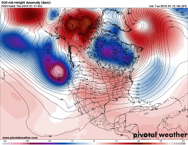
In the event the 2 streams were to hook up sooner it would draw the energy further north making for heavier snows in my area. That's something to keep an eye on as the coupling (or lack there of) will determine the severity of the impacts. I just don't see it.
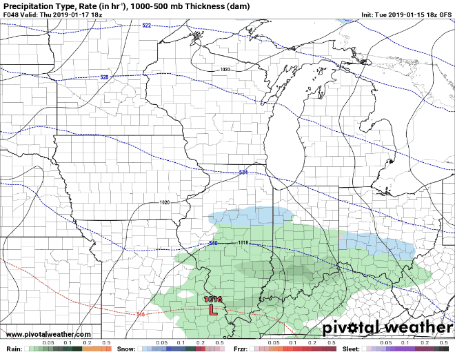
What I noticing is a warm advection band of snow that forms over my northern counties centered on HWY 20. This eventually collapses as the moisture is robbed by the primary system to the south. In the end this results in two heavier bands of snow. The one I just described and the other closer to the best upper air support in Missouri. The EURO depicts this best and you can see it clearly in its snowfall forecast below.
Anyway, as things stand now here are the latest snowfall forecasts. First the GFS.

Now the GEM (Canadian)

The EURO

The regional EURO

Following the snow a big chill is still expected after the snow Saturday night and Sunday. However, it does not look as severe as it did yesterday. Even so, sub-zero cold is still on the table but It now seems that most models want to hold the really brutal stuff off until the middle or late portions of next week. I sincerely believe it's coming, it's just a matter of when.
This is the temperature departure for January 28th on the GFS. It has readings 43 degree below normal centered on my area. You don't even want to know what theose numbers look like.

OK, we should get some better resolution on tomorrows models as the weekend system approaches the west coast. For now, we play the waiting game. Until then, roll weather...TS


