


FINALLY CALMING DOWN....
The pattern is going to be much calmer as we begin the month of June across the Midwest and much of the country. This comes after record flooding and a historic stretch of tornadoes across the central part of the U.S. Over 250 tornadoes wrecked havoc over a fourteen day period... Here's the data from USTornadoes.com:

You can read the full write up here, but this was an incredible stretch of weather across the country. The pattern will finally break and the severe weather potential is now much lower for the next two days. Here's Sunday's outlook from the Storm Prediction Center:

And Monday:

The other thing that we need to calm down is the rain. Parts of my local area picked up eight inches to nearly a foot of rain during the month of May. Check out the precipitation departure across the Midwest for May:

We're talking 100 to 350% of normal across the Midwest. That has lead to several roads of flooding, flash flooding, flooded fields and much more. Unfortunately, there was another levee breach today down in Burlington, Iowa too..
The good news is the high moisture levels are gone and there won't be many strong, organized systems that come through over the next week.
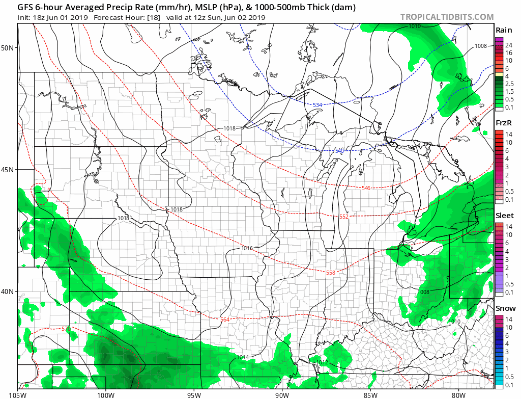
There still will be some rain and any thunderstorms may produce locally heavy rain. However, there are much lower chances for widespread, heavy rain over the next week.
It will be dry Sunday and Monday with temperatures in the 70s. Enjoy!
RK


