


THE HEAT IS ON...
We've had some summer temperatures sprinkled in here and there across the Upper Midwest. In general temperatures have been near and below normal for the last few weeks of June. Check out the high temperature departures over the last week:

High temperatures were in the 60s and 70s, when we should normally be in the 80s! Now the script is going to flip this week. There has been a lot of troughiness around lately - an area of low pressure leading to northwest flow and in turn cooler weather.

Starting Wednesday high pressure will begin to build in the upper levels and lead to warmer air.

After spending 8-10 days without 80 degree temperatures in much of my area, we will now head into a long stretch of 80s!

Temperatures will be staying near and above normal through the end of June and into the start of July. It will also be more humid with dew points in the 60s and 70s. This will set up what's known as a "ring of fire" pattern. This is when thunderstorms set up along the edge of the heat dome.
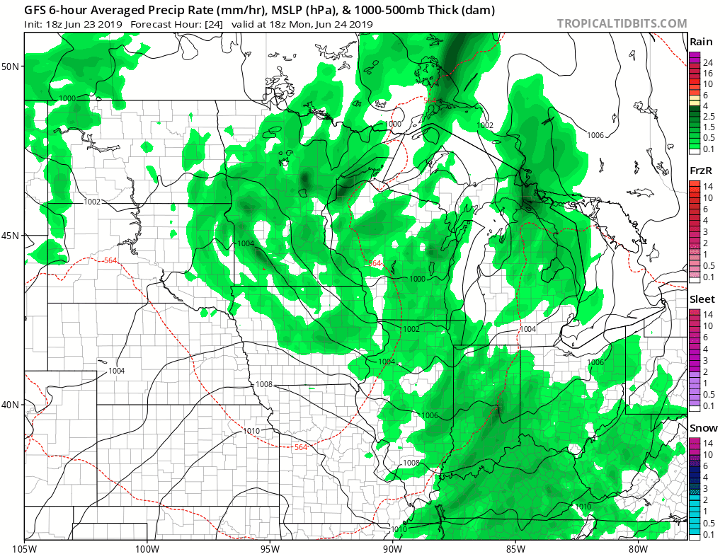
It won't be constantly raining this week, but there could be some storms particularly in the overnight hours toward the end of the week and into the weekend.
Here comes summer!
RK


