


FINALLY... SOMETHING!
Rain chances will go up Sunday and Monday across the Upper Midwest as a cold front moves through. No doubt we need the rain. Many places were two to three inches below normal for the month of July, which is typically a pretty rainy month. Just take a look at the last week of rainfall (or lack thereof) -

The persistent, dry pattern is making a difference. The ground is dry and cracking. Crops and lawns are severely lacking rain and starting to brown. And now we're showing up on the Drought Monitor -

The yellow represents "abnormally dry" conditions - a precursor to drought conditions if something doesn't change. What's bizarre is just about five weeks ago some spots that are now "abnormally dry" were dealing with flooding!
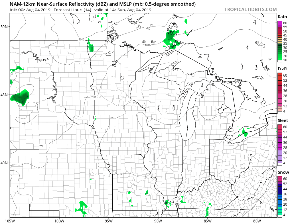
Now we have a chance for rain coming... a cold front will produce scattered showers and thunderstorms Sunday, Monday and Tuesday...
The Storm Prediction Center is keeping an eye on this front. Here's Sunday's outlook -

And Monday's -

A few storms may be strong with gusty winds and hail the main threats. There's not a ton of moisture associated with this system so storms shouldn't be widespread. Here's the precipitation on the European model through Tuesday:

The Euro does a good job of showing the nature of this system - there will be some localized spots with heavier rain wherever thunderstorms set up. But this system won't help us climb out of the hole we're in. Behind this front there won't be much rain either. High pressure moves in and brings dry, cool air to the Upper Midwest for the rest of next week.

At least we're getting something!
RK


