


SEVERE WEATHER POTENTIAL...
Severe weather season has been fairly quiet in Iowa and Illinois lately. There have been a few storms with strong winds, there was a tornado reported near Dubuque, Iowa last Monday night, but in general it has been below normal for severe weather. Of course, this is an active time of year typically.

This graphic, from the Storm Prediction Center, shows some of the greatest potential in Nebraska and Kansas in early August. Much of the Upper Midwest is still in the zone for severe weather this time of year, though. So it's not surprising there is a risk out for Monday in the Upper Midwest:

There's an enhanced risk out for extreme southeast Iowa into central Illinois. This is for a storm system that has a history of producing tornadoes (it produced seven in Colorado and Nebraska on Sunday). So there is the potential for tornadoes, but the greater risk will be for strong, damaging winds.
There is still some uncertainty with this system, as it is dependent on what happens Sunday night. Here's an animation showing the storms Sunday night into Monday evening (the HRRR model)
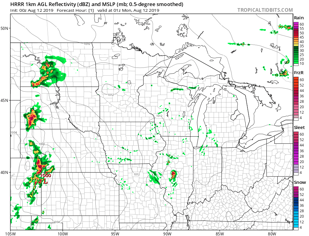
The greatest potential for severe weather will depend on where the warm front sets up and the area of low pressure tracks. It's something we'll keep an eye on through the day Monday.
Behind the storm system, drier air will move in for a few days. It will be warm and muggy on Monday..
High temps:

Dew points:

Temperatures will be below normal by Wednesday:

With lower humidity:

For now we're keeping an eye on the severe weather potential Monday afternoon...
RK


