


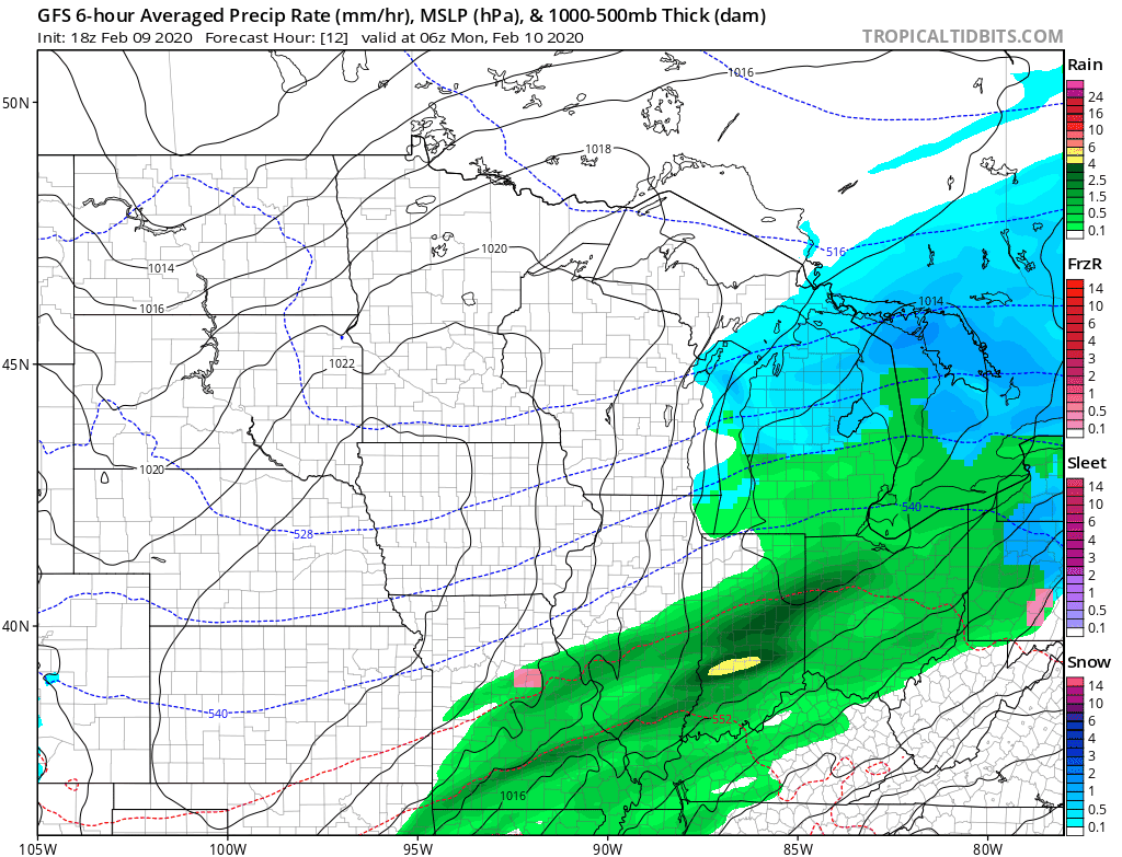
SUNDAY'S SNOW AND MORE TO COME?
The storm that moved through the Upper Midwest Saturday night into Sunday put down some heavy snow. Here's wide view through the Midwest of the snow:

A fairly narrow band of heavy snow fell in parts of South Dakota, Minnesota, Iowa and Wisconsin. This band produced 8 to 16 inches of snow!
Here's a zoomed in look in my local area:

You can see the sharp gradient in far northern Iowa.. some counties had 6-7" of snow in the north and then just 2-3" down to the south. Incredible! There was also a narrow band from around Cedar Rapids toward Dubuque of 1-3" of sleet and snow.
The snow has stopped and it's going to be a sunny, but cold day Monday..

High pressure will be in control for the start of the week. There will be little to no precipitation through Wednesday.
There will be one system that begins to approach the area Wednesday night into Thursday and another one Saturday into Sunday.
The pattern will surely be conducive for snow with plenty of cold air in place...

It's just a matter of where exactly these systems track. That is something we won't be able to answer for a few days.
RK


