JUNE TO START ON AN IMPROVED NOTE...
Over the next 6-10 days a pattern change is expected over the Midwest that should bring an end to the stormy wet pattern that's been so widespread the past couple of weeks. The big eastern ridge at 500 mb that's provided the central U.S. with a remarkably moist SW flow is breaking down. By early next week the flow aloft has transitioned to NW as you can see below.

The significance of this pattern can't be understated as so much of the region is saturated with planting and crop development greatly hindered. It looks as though there should be a window where precipitation is drastically reduced, especially with precipitable water values down to 1/4" or less into southern Wisconsin by Sunday. That deep fetch of Gulf moisture that's been so pronounced finally gets cut off. The question is how long?

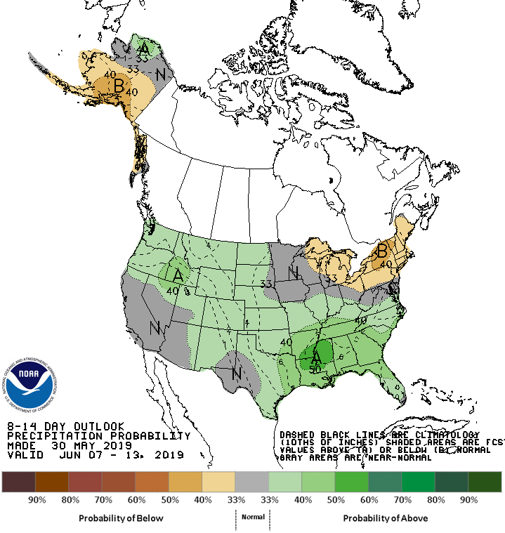
The Climate Prediction Center has caught the trend and shows this for 6-10 day precipitation. Not dry to be certain but much more typical of what's expected at this time of year.

Along with the presence of drier air will come pleasant temperatures. In fact, there may be a couple days late weekend and early next week where highs are a bit on the cool side (upper 60s to low 70s) Take a look at the temperature departure for next Monday when readings are a good 10-12 degrees below normal.

More seasonal temperatures should return later next week as readings quickly rise. The hope is the combination of sunshine, warmer temperatures, and less frequent heavy rains will allow farmers and crops to make some much needed progress. We could all use some of that.
Meantime, Friday should be a fine day for many with sunshine and warm readings well into the 80s. Just what the doctor ordered. The next chance of rain does not arrive until late Friday night or Saturday. That's associated with the front that brings the pattern change to less active conditions next week. Here's hoping that the month of June turns out to be a much better than May. Roll weather...TS


