


WHEN IT RAINS, IT POURS...
- Mar 7
- 3 min read
JOIN THE ROSTER FOR WX SCHOOL, MODEL ANALYSIS 101
CLICK ABOVE FOR THE DETAILS
IT'S ABOUT TIME BROTHER...
Even fans of beautiful weather were smiling Friday due to a couple rounds of beneficial rain that were long overdue. And when I say long overdue, rest assured that's an understatement. Take a look at these summaries for the month of February from the NWS in the Quad Cities. For the entire month, Moline had no measurable precipitation-(rain or snow). You can't get any less than that and thus, 2026 became the driest on record in Moline. Burlington was not much better with .02". Dubuque had it's 9th driest February managing to squeeze out .31"

You can see a broad area from southern Iowa into northern Illinois had zero to 10% of its normal February precipitation. That's hard to do over a 4 week stretch.

The dry streak had carried over into the first 5 days of March and then came Friday. Finally, the skies opened up and a couple rounds of showers and storms (one early and the second late), produced widespread beneficial rains. I don't have final tallies but some amounts of 2, to perhaps 3 inches inches seem likely in spots. These are Doppler estimates through midnight Friday evening.

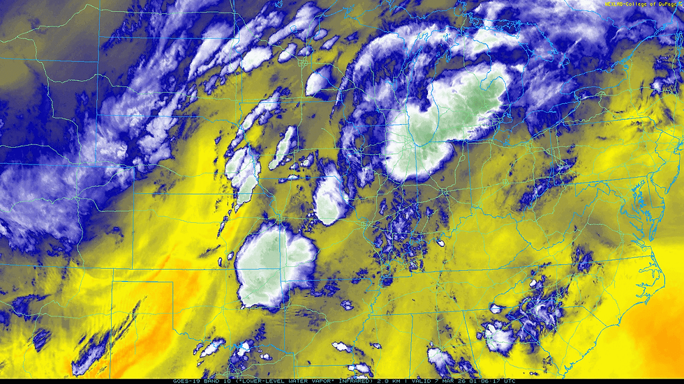
The water vapor satellite below, shows the final surge of moisture and storms surging north into Iowa and Missouri ahead of a cold front Friday night approaching eastern Iowa.
With the front set to clear the area around daybreak east of the Mississippi, the last of the showers and storms will be out of the east very early Saturday. Here's an animation showing the rain sweeping ahead of the cold front from 9:00 Friday evening to noon Saturday.

That being the case, dry weather settles in for the rest of the weekend. One thing you will notice Saturday is a brief but sharp change to colder temperatures. At 5:00am the cold front is just into my western counties with readings still in the 50s except over my far western counties. By noon the entire area is in the upper 30s NW to the low 40s SE where readings will stay the rest of the day.

With brisk NW winds up to 30mph, wind chills at noon are shown in the upper 20s to low 30s.
Fortunately, after a cold start to Sunday, readings warm nicely and by late afternoon highs are back in the range of 60-65 north to south with abundant sunshine. Monday looks similar, with even warmer temperatures. Highs of 65 to 70 are on the table.
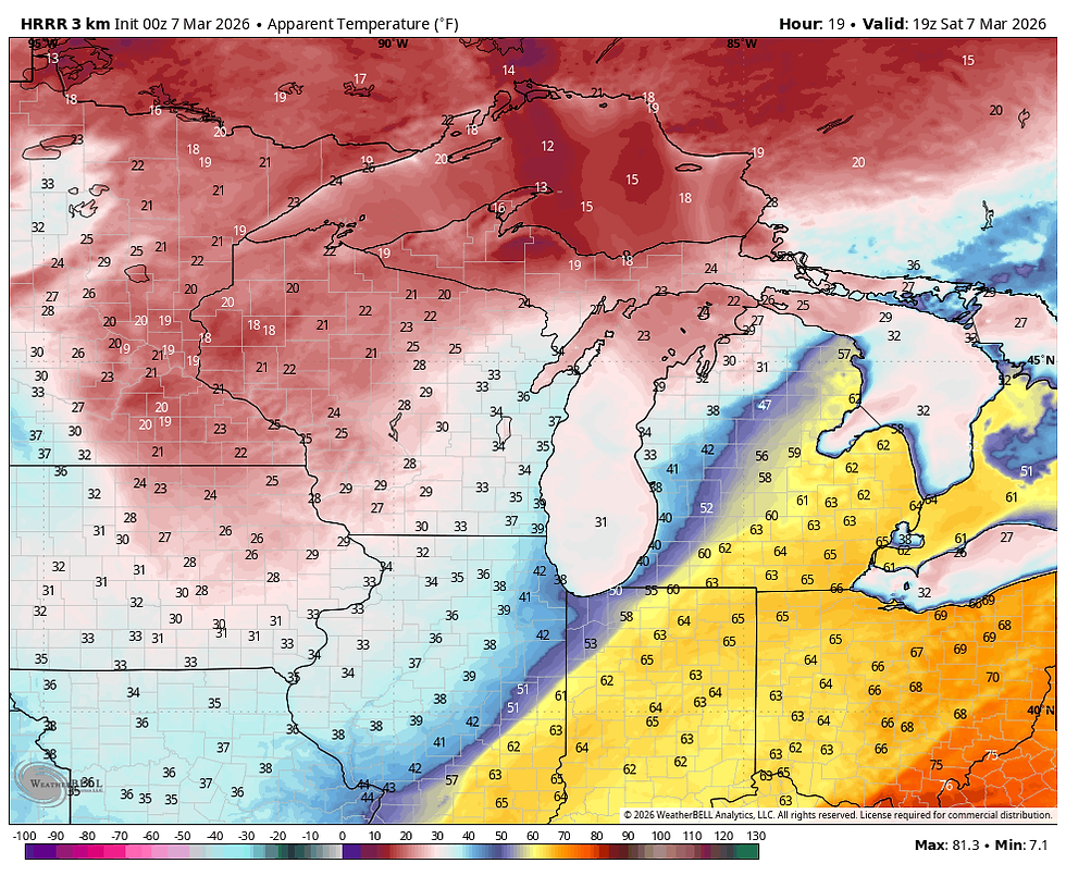
Come Tuesday, our next weather make is approaching. Unfortunately, there is a timing difference with the arrival of a cold front and some additional showers and storms in the afternoon. The EURO is slower and much warmer. It's highs look like this. More to my thinking.

The GFS is 20 degrees colder in my northern counties near HWY 20. Still warm though in the south.

Either way, there is still a shot at rain, especially Tuesday afternoon. It might take another day or two to iron out the wrinkles. Temperatures will turn noticeably colder after the system departs Wednesday. For sure, a more springlike pattern is developing as the days keep growing longer. Good days, bad days, expect plenty of that in the next 6 weeks. Have a solid weekend and roll weather...TS
PS. I'm happy to say that I reached my financial fundraising goal. My sincere thank you to all of you who made contributions and have taken it upon yourself to support the site. You are stuck with TSwails for awhile. If you haven't contributed, and think the site has value, or you use it extensively, it is still possible to donate. Any contributions will go into a trust to be used to support the site going forward. Thanks again!


Comments