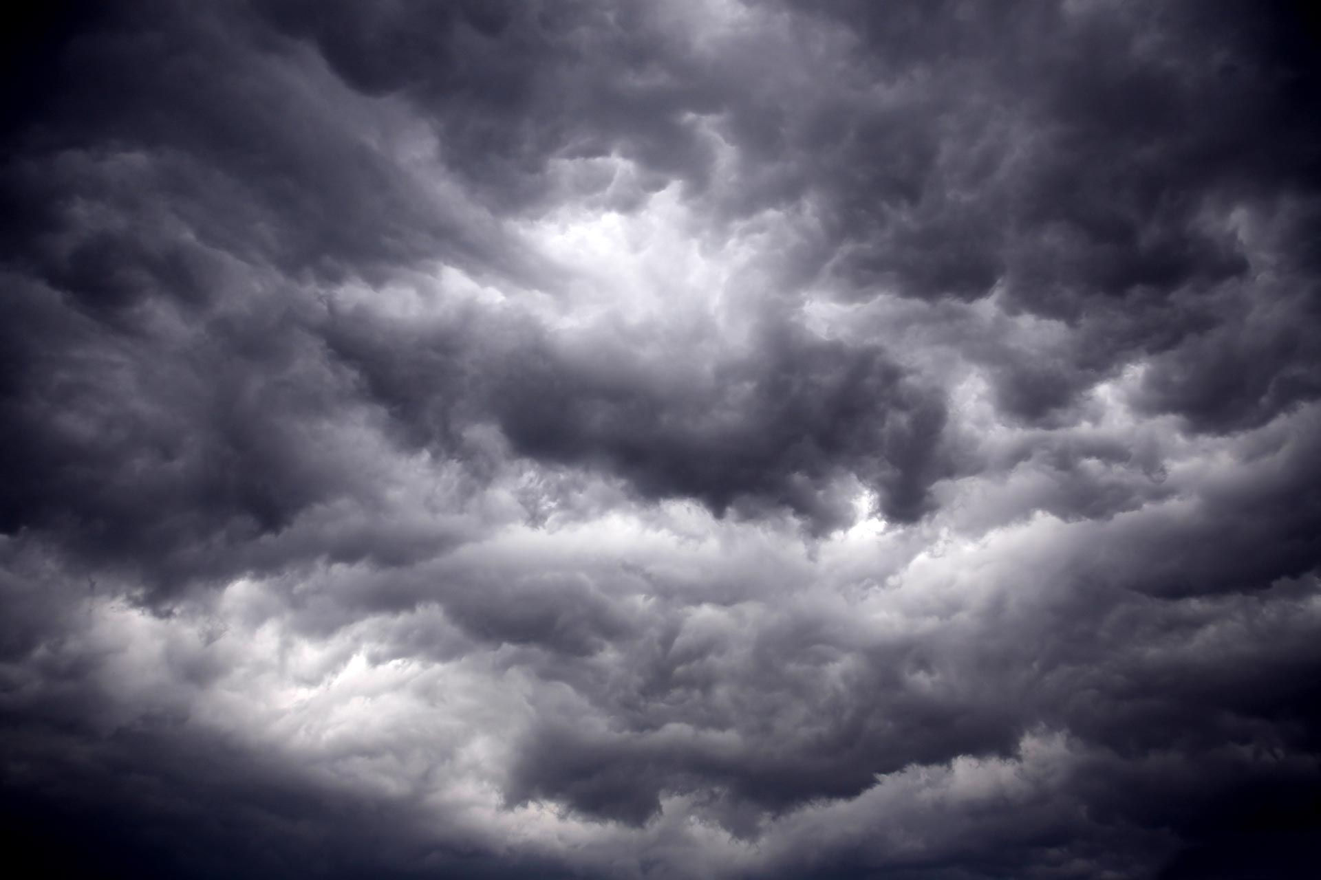


IN THE EYE OF HURRICANE ISAIAS
It was a last-minute decision, but as Hurricane Isaias approached the Florida coast, I decided to take the day off and head for the impact zone in the Florida Panhandle. I had little time to prep my car, cameras and equipment - but in three hours I prepped everything I could to make the nine-hour drive from the Florida Space Coast to Mexico Beach, Florida - the first stop on my travels. On the way to the impact zone it was evident I was heading the right direction. Armies of


A LULL IN THE ACTION
I could just post a sentence or two and that would cover the next week of weather across the Midwest. But I'll give you a little more than that, but trust me I am stretching. Starting off, not much really excited me until next week. We are watching a storm system in the Tuesday/Wednesday October 13-14 time frame that will likely be an abrupt pattern change bringing in much cooler temperatures and our next chance at meaningful rainfall. Strong upper-level support will usher in


A DRY, MILD START TO OCTOBER
After one of the wettest periods on record across the Midwest, we are taking a very nice break from the rain machine and turning quite dry heading through the first portion of October. Strong ridging aloft is bringing a northwest flow of dry air overhead and alloowing warmth to build in. Ensemble guidance early next week (above) shows some very strong anomalies - indicating temperatures 7-10 degrees above normal next weekend. The upper level pattern shows the strong ridging o


