


BENEFICIAL RAIN (FOR SOME)...
- Sep 15, 2019
- 1 min read
Heavy rain fell once again over the weekend and it finally hit some spots that were in need of it. Here's the latest Drought Monitor, which was released this past Thursday.

And here's the rainfall totals from Saturday into Sunday morning:

Now it this likely hasn't solved the drought problem, but it has helped. We talked about yesterday the heavy rain falling up to the north and that has solved the dry problems there but has also led to flash flooding.
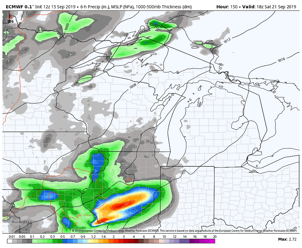
Now there will be more chances for rain coming up this week. Here's a look at the seven day precipitation totals:

The placement of the heavy rain will likely change, depending on where the thunderstorms set up.
The first chance of rain comes Wednesday night into Thursday -

That'll be as a cold front passes through. There will then be a second front over the weekend...
The second front will likely knock temperatures back closer to normal. But prior to that, much of this week will be summery, muggy, and above normal. Here's an example with the Cedar Rapids temperatures for the next ten days -

Temperatures go back to the 70s next week, which would fall in line with the fall equinox.
RK


Comments