


AN ACTIVE, COLD PATTERN SETTLES IN
- Nov 30, 2025
- 3 min read
Quite an inconvenient snow starts again for the area Monday afternoon and evening as a new winter storm starts to take shape. This is the first of a few systems we are watching between now and next weekend with snow chances increasing and cold air really starting to become entrenched.
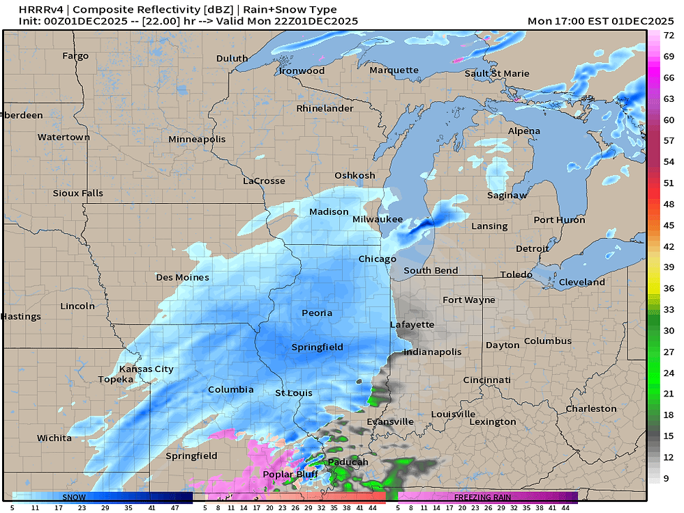
Our first system and the one we have the most confidence in starts sweeping through the area by Monday afternoon. While nowhere near as much snow as the weekend winter storm, this will pack some impacts given the highest snow rates will coincide with the evening commute for much of the area. The image above is valid 4 p.m. Monday off the HRRR.
The NBM

The HRRR

The Euro

Generally the models are all pretty well in sync with a wide area of 1-3" of snow from Kansas City through Chicago with areas of 4" likely along the center of the track. Compared to last night the track may be a little farther south keeping areas like Des Moines, Cedar Rapids and Dubuque on the lower side. The Quad Cities are looking about on track for that 1-3" potential.
Probabilistic Snow

This is also well in line with the official forecast from the Weather Prediction Center and National Weather Service. The probabilistic forecast for the region (above) may actually be a bit higher than I would expect as it has many more areas of 3-4" in the darkest shading of blue. I think the 4" totals may be more isolated, however the colder air in place will allow the snow to be higher snowfall rates due to it's fluffier nature.

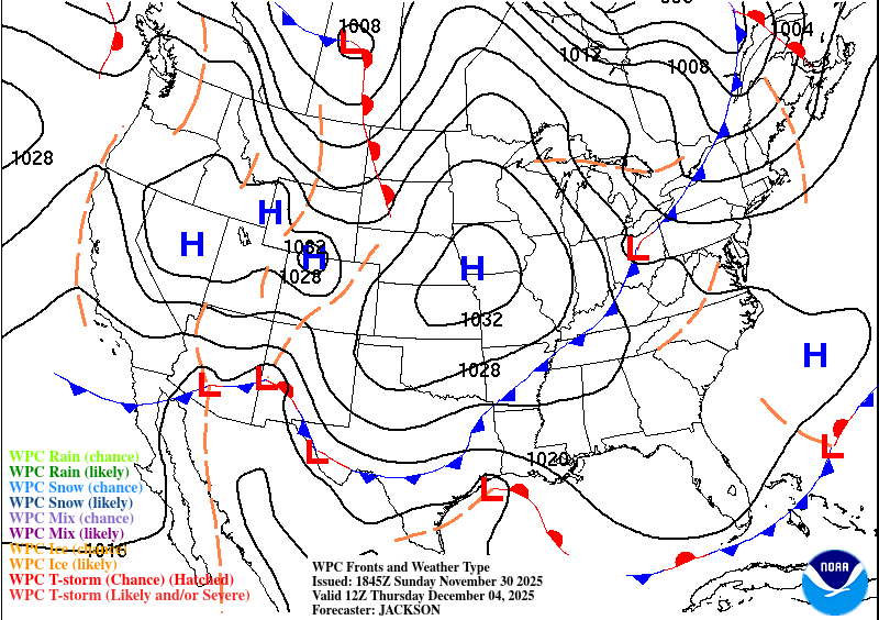
Looking at the European Ensemble for the Quad Cities there is very good agreement with the first system (Monday), a second system (Wednesday/Thursday) and lesser confidence in a potential third system in the Friday through Sunday time frame. At this point in time neither appears to be a major impact, but it does show the active pattern we are getting locked into. That third system is worth watching however as it would likely have some of the strongest upper air support to work with but for now, the worst may be swinging to the south.
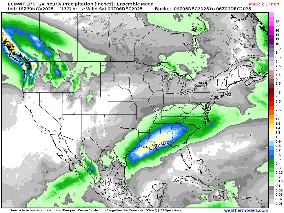
The mean precipitation off the 50 members of the European Ensemble are lining up to bring a potential heavy rain/severe weather episode across the Gulf Coast, and given the cold air in place, the northern side of this system will likely have some potential snow issues. You can see it seems to be farther south of the area, but I would watch this closely for any potential northerly trends with time.

The 500mb pattern aloft looks very energized and rather cold looking into the weekend any beyond. This also looks to keep the storm track over the region.
If you happened to watch our pre-winter-storm live video, Terry and I actually discussed what the models showed at the time and how we didn't really think it made sense. The above plot is a lot more in line with expectations going forward likely getting a better handle on the snow pack and therefore storm track.

Specifically talking about the cold, Meteorological Winter which starts December 1 will be off to a cold start across the region. The Climate Prediction Center has rather high chance of below-normal temperatures centered around the Great Lakes region as northwest flow aloft transports some much colder air to the region. I have no qualms with the outlook above whatsoever.

Looking at the model blend for the Quad Cities, generally below to well-below-normal temperatures look to take over through the next week. Sub-zero lows are likely behind that aforementioned mid-week storm threat behind a potent cold front. Thursday and Friday morning look like the coldest temperatures of the season areawide.
A rather strong borderline Arctic High with pressure up to 1032mb sets up over the area which clears the skies, calms the wind and allows for some exceptional radiational cooling with the fresh snow covering the ground. This is something that if it occurred in the thick of winter (late January/February) we would likely see some lows dipping -20 or lower. Thankfully the winter is young and we just don't have that much cold air in place. Yet.
I think I'll wrap it up there. Have a great week, everyone!
-Meteorologist Nick Stewart


Comments