


FROM 'RING OF FIRE,' TO JUST THE FIRE
- Jun 30, 2025
- 2 min read

Following a stretch of active weather across the region sitting under the 'Ring of Fire,' the overall storm track will shift north of the area firmly putting us on the hot side of things. Five-day temperature anomalies will start pushing 10°+ above normal heading into the extended period. The heat will really start turning up just in time for the Fourth of July weekend.

The temperature forecast going forward has a slight cool down Tuesday behind a cool front before we heat up this weekend. Widespread air temperatures in the 90s are likely with heat indices pushing into the mid/upper 90s.
Tuesday and Wednesday will very likely be dry for the area, with slightly increasing rain chances Thursday and Friday. I still think much of the area will be dry through Friday before we see a change to the overall pattern.
The Euro

The GFS

Heat indices Friday, the Fourth of July, indicate this could be the hottest day in this period with the combination of hot temperatures and high humidity levels. Both the Euro and the GFS have the heat index around 96-98° in the afternoon around the Quad Cities. Dewpoint temperatures will push into a very uncomfortable range of the low 70s.
This will likely be just the beginning of a prolonged stretch of temperatures sitting above normal.
July 4-7

July 10-13

Analogs continue to hint at the likelihood of above-normal temperatures through mid-July across the Midwest/corn belt. The signal isn't particularly strong, only about 5° above normal, but I think it's at least a pretty good indicator or what is to come. There's also some indication the ring of fire may dip a little more south returning the area into an active weather pattern.

During the July 4-7 time frame analogs are hinting at some regional severe weather as the upper air pattern comes back south. The probabilities of at least one severe weather report are approaching 60 percent from South Dakota through northern Ohio.
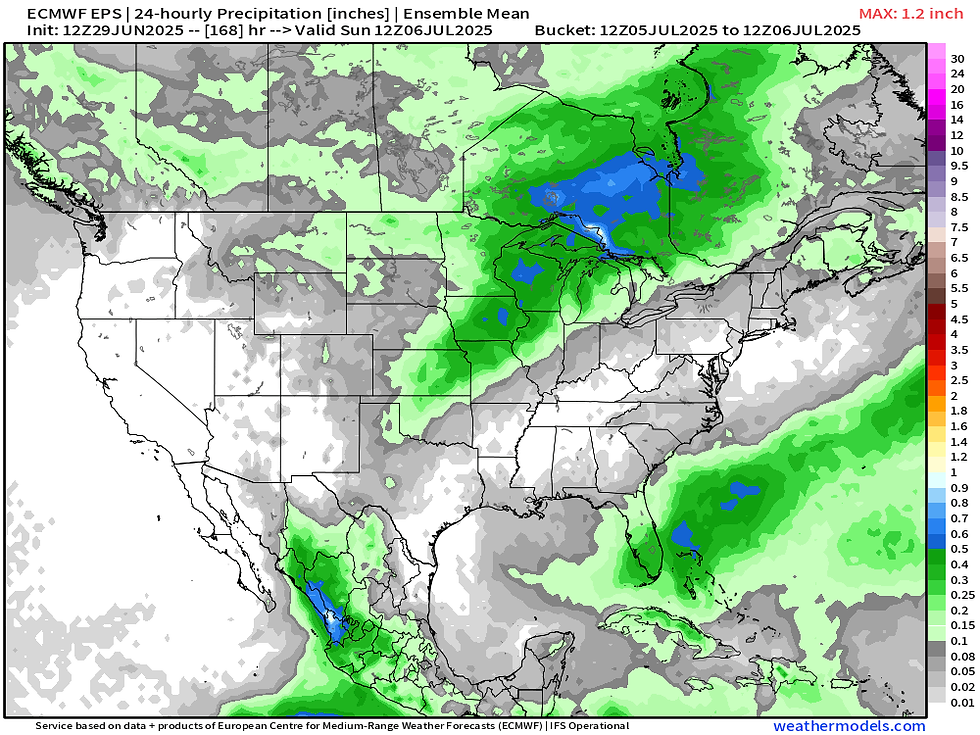
The European Ensemble signals July 5 might be a particular day to watch for regional severe weather. It has the highest 24-hour accumulated precipitation. Just watching it for now, very low confidence for the time being, but somewhere around that time frame is likely a period of severe weather.
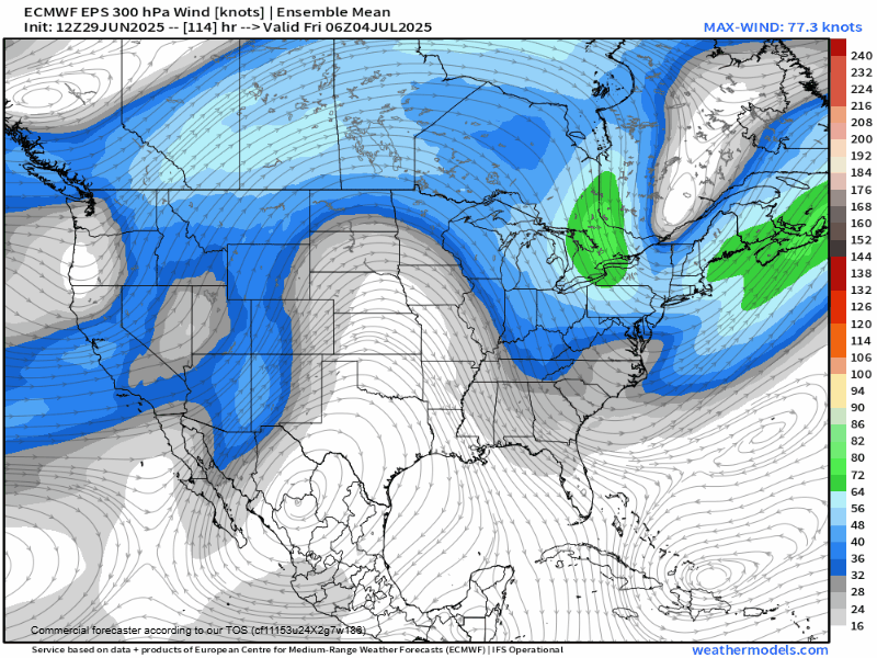
The upper air pattern shows a return to southwest flow around this time as well which would indicate increasing moisture and a transition to active weather. This would indicate the threat period is July 5-6. These summer patterns are always lesser confidence so there is a lot to watch and asses in the coming days!
-Meteorologist Nick Stewart


Comments