


HEADING TOWARD WINTER....
- Dec 26, 2021
- 2 min read
JOIN US FOR WEATHER SCHOOL. TSwails.com is offering a very special opportunity for you to learn first-hand the ins and outs of severe weather forecasting with one of the most experienced meteorologists in the country and a talented team of experts. Get the agenda, more details, and limited session seats by clicking the banner below.

WHAT OTHERS ARE SAYING:
(John Miller) I cannot WAIT!!! His last session was one of BEST events I have ever attended!!!
(Matthew Hunter) I can hardly wait to attend! I got a second ticket as a surprise Christmas gift for my brother. This is going to be so awesome!
(William Valentine) Terry is the master. Nothing better than learning from the very best.
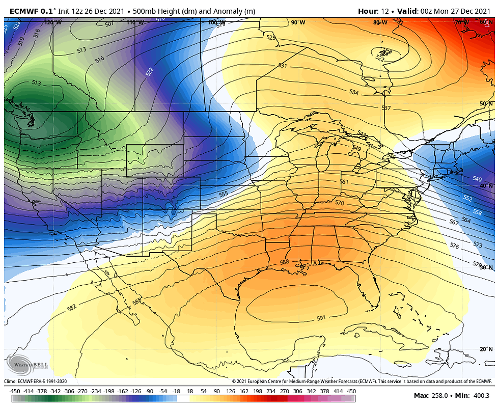
Winter "officially" started last week, but we haven't seen much of it lately. It was a little cooler Sunday in the morning but got mild by the afternoon. We were still sitting under a ridge ahead of an approaching storm system:
That storm system is bringing mostly rain to my local area with a wintry mix/snow near and north of Highway 20... that'll continue into the early morning hours of Monday:

Clouds will clear Monday afternoon and it will be a pretty nice day with above normal temperatures once again:

Another wintry storm system moves in on Tuesday and this time further south, putting more of my local area in the crosshairs of wintry precipitation. Here's a look at the projected radar for Tuesday morning through midday:

Then Tuesday afternoon/evening:

Temperatures won't be below freezing across the board so that's why we're looking at different precipitation types with rain, freezing rain, sleet and snow:

There are differences on the track of that system so there is a difference on snowfall/ice totals. Here's a look at the Euro with a further south track:

GFS further to the north:

The NAM also north:

So there's still some details to work out there, but certainly looking like another snow even for Minnesota and Wisconsin on Tuesday. Much colder air will follow for Wednesday and it will be colder depending on where the snow falls:

The rest of the week will be cold and calm... we'll be keeping an eye on another storm system arriving in the first day or two of the new year...

Too soon for details but one to watch for sure. It may not all be cut and dry but we're getting closer to more wintry weather around these parts....
RK


Comments