


TRYING TO RELOAD FOR MORE
- terryswails1
- Jul 7, 2025
- 2 min read


The upcoming week will be filled with seasonal temperatures and two main disturbances that could lead to storm chanced across the Midwest, one more rigorous than the other. Monday will generally be a sunny, warm day with highs in the mid/upper 80s as we get set for the first trough that could initiate storms on Tuesday. Models are quite limited with storm potential for the time being with Tuesday's setup but there remains some reason to keep an eye on things.
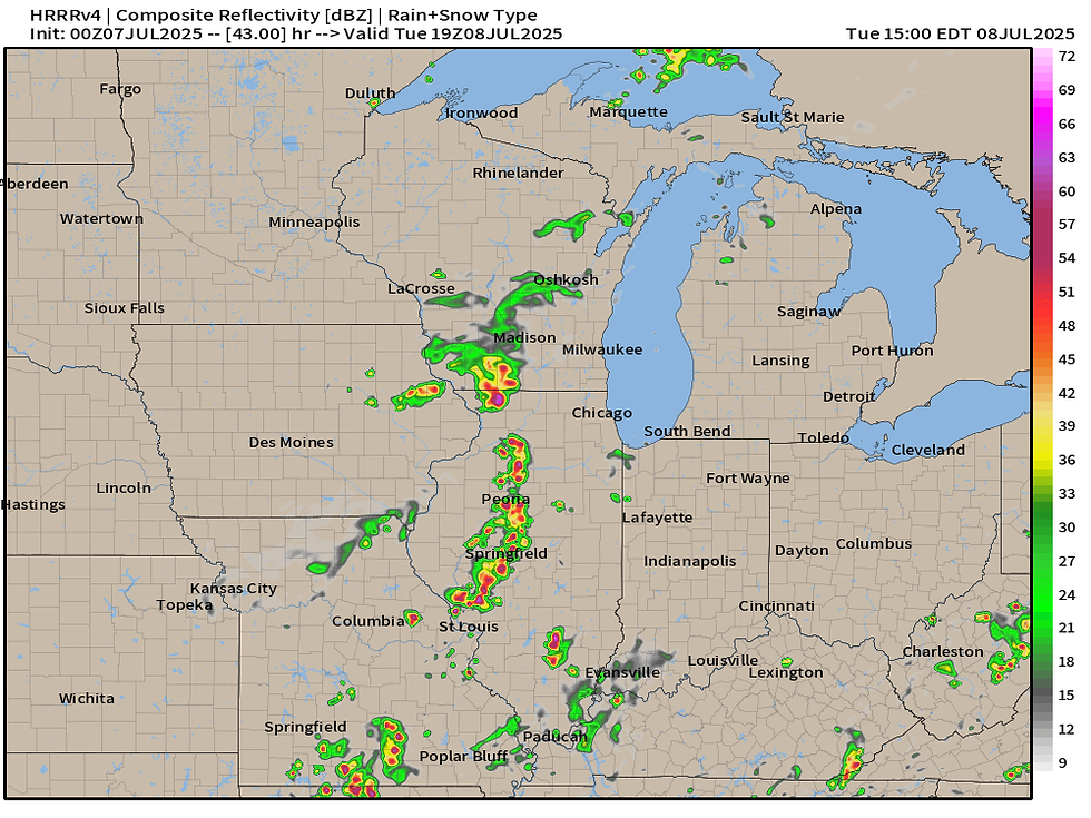
HRRR
NAM3K

RRFS

The majority of the high-resolution models show some spotty storms in the area Tuesday with the HRRR being the most rambunctious locally, albeit it's rather far east in relation to the Quad Cities. We'll at least throw some percentage to the rain/storm threat on Tuesday but I do think most will remain dry. Any storm that develops could produce very heavy rainfall and strong wind gusts.

To account for the rather high moisture content of the atmosphere and slower-moving storms there is a Marginal Risk for flash flooding in place for the region from the Weather Prediction Center.

A stronger trough is forecast on Friday which looks more promising for widespread rainfall, including storms which could be strong. Once again plentiful moisture will be in place with rather robust instability. Depending how things time out this could become a higher-end severe weather day, but early indications are it might be farther west of our area.

The European Ensemble does have elevated precipitation totals across central and eastern Iowa, which at least indicates higher confidence in storm chances and rainfall. This would be welcomed rain at that for at least some of the unlucky ones missing out on the recent rain.

Machine learning forecasts do show a small chance of severe weather on Friday. No formal Storm Prediction Center outlooks are in place at this point in time but that could change if confidence increases.

Unlike late last week's rain, this upcoming late-week system will not have as much moisture to work with which will limit flash flooding concerns. PWAT values are forecast to be in the 1.75" to 2.0" which is rather seasonal. The system is also quite progressive in nature moving storms quickly through the area which would also limit a threat for flash flooding.
If storms do form, once again the main concern will be strong wind gusts and locally heavy rain. Have a great week everyone!
-Meteorologist Nick Stewart


Comments