BACK TO SPRING... FOR NOW?
After a little sprinkle of wintry weather, temperatures will take off over the weekend. In typical fashion, temperatures will be 15 to 30 degrees above normal over the next three days.
Here are the highs on Saturday, Sunday and Monday:


Personally I think the numbers are underdone by about 3-5 degrees on each day, but the bottom line is it will be mild. The next front is still expected to move through on Monday evening. Here's the surface pattern Monday night:

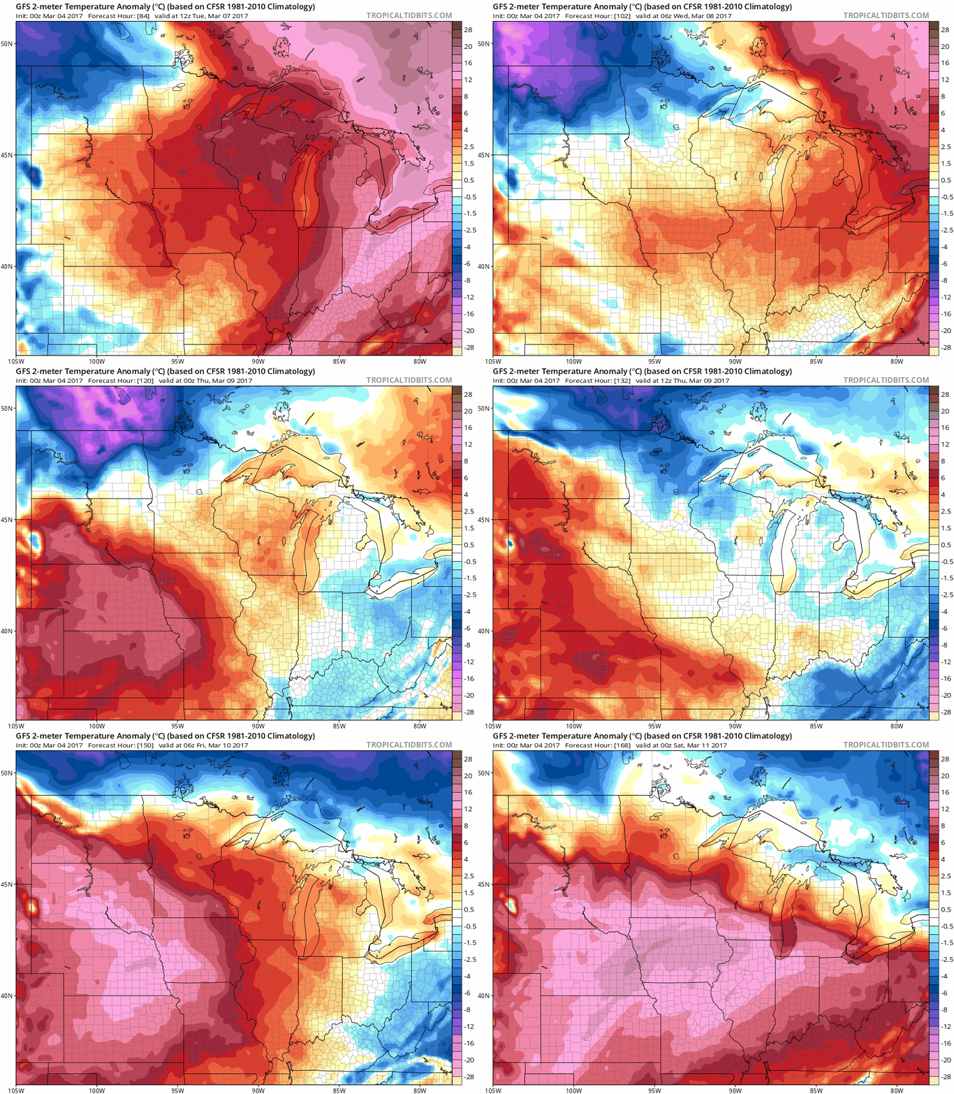
Even after the storm passes.. temperatures stay above normal. Here's the temperature anomalies through Friday, March 10:

The thing that interests me is in the 8 to 10 day period. But there's not a lot of consistency between the models. Both models do show a cooler pattern, but there are differences on just how cold. Here's the upper air pattern on the GFS on March 12:

And the European on March 11:

Now here's the GFS anomaly on the same day.. not much to write home about:

And the European... much, much colder:

What I don't like with the European solution is that the teleconnections are not on our side. The one that's been the best for cold this winter is the EPO which is positive right now and on the Euro actually stays positive through the next 10 days.

The GFS has a little dip, but not enough to get excited:

Who will be right? Only time will tell.
RK


