A BIT TICKET STORM THIS WEEKEND...

For the first time in recent memory, the Arctic Oscillation (AO) and the North Atlantic Oscillation (NAO) are going negative at the same time. The ramifications are significant here in the Midwest as it signals a change to much colder temperatures the next 7-10 days.
Here's the AO forecast on the EURO.


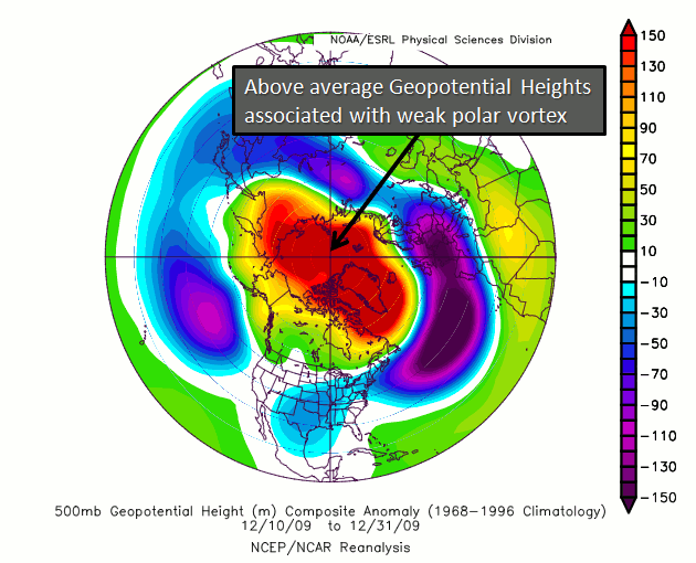
Here's the area in blue where low 500mb heights can be expected in such a pattern. Low heights equate to a trough and an associated cold pool over the center of the nation.

Additionally, the NAO is forecast to look like this on the EURO.

A negative NAO teleconnects to a pattern that looks like this. Not only are heights low, so are temperatures over the entire Midwest.

Put the two together and you often get a dynamic weather pattern that can be cold and snowy in the winter. This late in the year the cold is far less pronounced but chilly wet weather takes the place of the snow and cold, except on the storms northwest flank.
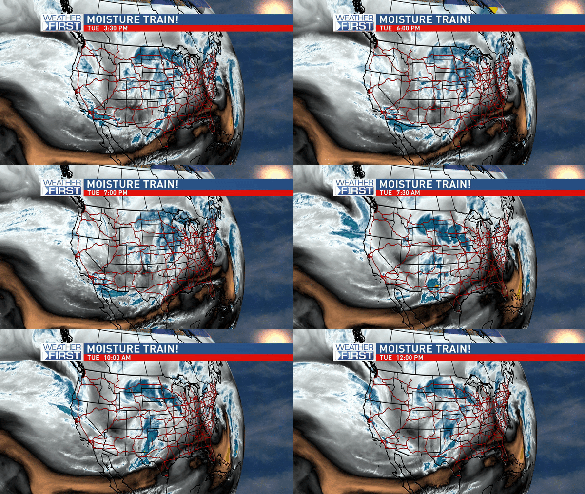
So what I look for with a negative AO and NAO is a mean trough over the central U.S. and an active storm track to go with it. In the water vapor loop below you can see the trough setting up as energy off the Pacific digs into the base centered over the southwest U.S. A very dynamic pattern to say the least.

Eventually the energy carves out a deep trough that is centered over eastern Iowa Sunday night. Here it is in all its glory looking very much like a mid-winter storm.

Speaking of winter, the weekend storm will have a "wintry" side for parts of NW Iowa, Minnesota, and NW Wisconsin. A strong surface low will from the Texas Panhandle Friday and progress to NE Missouri Sunday at noon. From there it cuts over EC Iowa and heads to Wisconsin Monday morning. You can see the progression below in the surface depiction.


Here's the temperature contrast that's expected on Sunday. Where snow is possible readings only in the mid 30s. In the warm sector east of the low temperatures are well into the 70s.

The EURO shows this for total snow Sunday/Monday.

The GFS depicts this for total snowfall over the same period.

Where temperatures are warmer it looks like many parts of the Midwest could see at least and inch of rain. Where the best dynamics set up (which is too early to tell at this juncture) some 2-3" totals are possible. Southern Missouri and Illinois could end up with some serious flooding issues. Both rain and snow totals will waffle around a bit as the storm track gets defined. The EURO has this for total precipitation through early Tuesday of next week.

The GFS has this for roughly the same time period.

In the end, the bottom line for many is that colder weather is coming and so is a major big ticket weekend storm. It will be a challenging forecast that I'm fired up about. And even though it's not likely to snow in my local area it will be fun to watch it sets up to my northwest. No doubt it will be the last time I get to talk snow for many months to come. Roll weather...TS


