THE OTHER SIDE OF THE PILLOW....
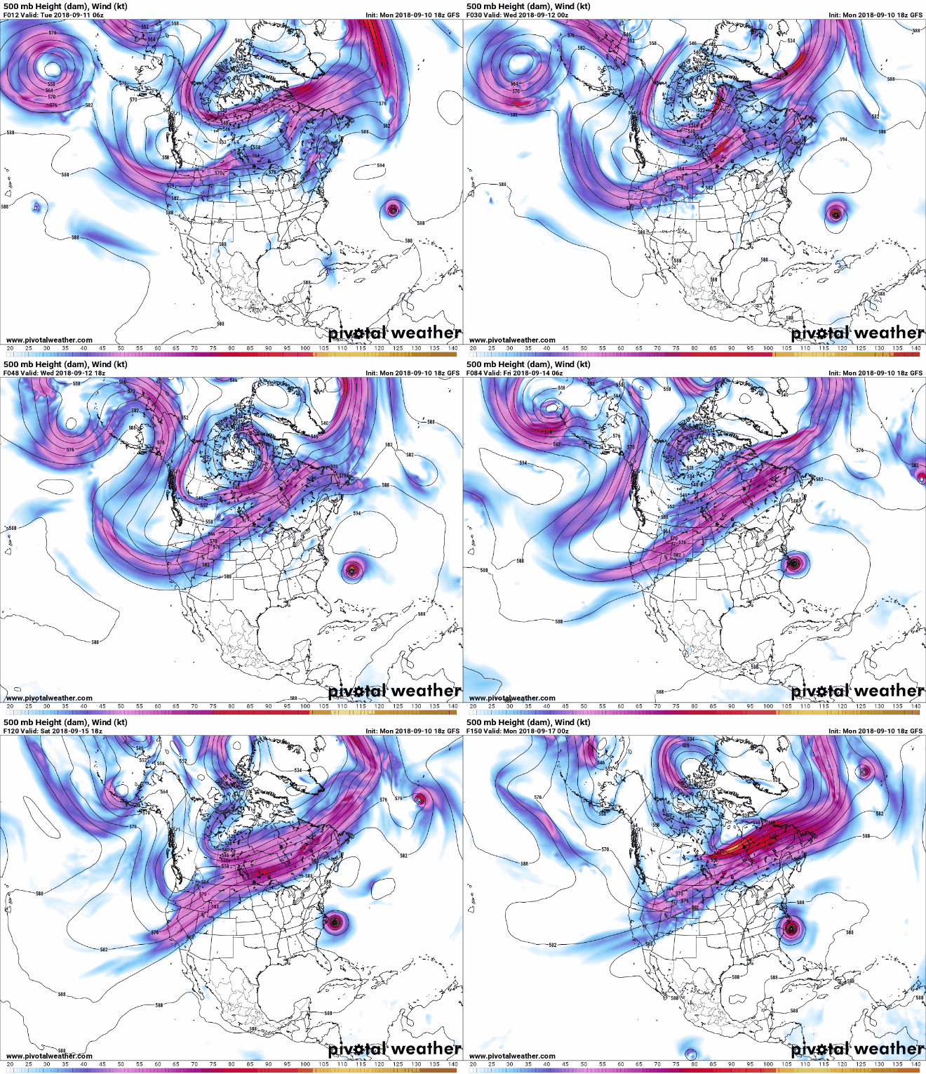
Florence is the only game in town when it comes to the nations weather. The major hurricane with winds approaching category 5 status will dominate the N. American landscape until further notice. Watch the animation below showing the hurricane coming off the Atlantic and advancing into North Carolina. The entire 500mb upper air flow is directed around the storm through the weekend.

For the Midwest the blocky pattern is just what the doctor ordered after a soggy start to September. Instead of rain, abundant sunshine and comfortable temperatures will rule the roost around here the next 7 days. The EURO 7 day rainfall forecast.

The temperature anomalies September 12th-17th show the warmth that dominates the Midwest as Florence punishes the east.

As nice as it is here, the other side of the pillow will feature Florence and all the inclement weather associated with a major hurricane. Monday night's spaghetti plots from the major hurricane models continue to take aim on North Carolina.

The Hurricane Center is in full agreement on that track.

There's likely to be some wobbles in the final track but it seems very likely that a major category 4 storm will make landfall. Here's some of the intensity levels forecast by hurricane models. A couple even forecast category 5 intensity (155mph+ sustained winds.)

In the end, the biggest impacts from Florence willy end up being flooding. As the storm slows to a crawl torrential rainfall will cover much of the mid-Atlantic coast. Some areas could see more than 30" of rain.
The EURO has this for total rainfall. I'm positive there will be spots with much more than this.

Here's a statement from the hurricane center regarding the serious dangers associated with such a powerful hurricane.

Last but not least, this is a rare event. Only 3 category 4 hurricanes have hit the Carolina's since 1851. The last was Hugo in 1989. Florence has a very good chance of being the next.

So grab a seat and watch from the comfort of the Midwest the chaos headed for our friends out east. Here's wishing them the best possible outcome. Roll weather..TS


