


AND OFF WE GO....
- May 27, 2022
- 1 min read
We had another day of showers and thunderstorms and now it's time for a break. High pressure is on the way in behind this storm system and that will usher in a calm finish to the week:

With plenty of sunshine temperatures will climb into the 60s and 70s Friday afternoon:

Drier air will move in and humidity levels will be noticeably lower:

We'll experience some much warmer conditions as the storm system departs:

The trough pulls away and a ridge builds in through the weekend:

Under the ridge we'll be warm, humid, and mostly dry while areas to the northwest deal with storminess over the holiday weekend.
On Saturday we take temperatures up into the 70s and 80s:

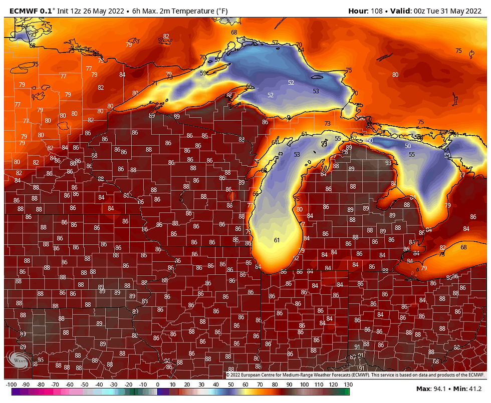
And then we get even warmer on Sunday:

And humidity with be back in full force:

And summer will be in full force on Memorial Day:
We'll have mostly dry conditions through the weekend with just a slim chance for a pop up shower or storm. The greater chances for storms will be to the northwest of our local area where the Storm Prediction Center is watching a potentially multi-day severe weather outbreak.
Saturday's outlook:

And probabilities for Sunday:

Spring and summer are on the way back!
RK


Comments