CALM WEEKEND, WATCHING TUESDAY....
The rest of the weekend will be quiet across the Upper Midwest. There's a slim chance for some sprinkles/flurries in Iowa, Minnesota, and Wisconsin. The greater chance for precipitation will be to the east of the Mississippi and into the northeastern U.S.

It will be cloudy with temperatures will be similar to Saturday in the 40s:

Monday will also be a quiet and cool day with mostly cloudy skies. Temperatures will be running around normal for this time of year:

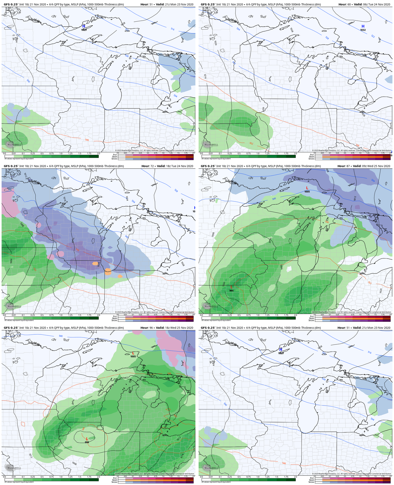
There will be a storm that moves in Monday night into Tuesday. This system will bring in the chance for a wintry mix at first then change over to all rain for much of the area.

There will be some snowfall accumulation but that switch to rain. There is still uncertainty among the models about how much snow falls and where.
Here's a look at the GFS:

The EURO:

The NAM:

We'll continue to update you with the latest data, but right now it looks like the greatest chance for snowfall accumulation is north of Highway 20. The exact track and intensity of this storm will play a role in these amounts.
RK


