


LIKE A BROKEN RECORD: HEAT AND STORMS
- Jul 27, 2025
- 3 min read

As the heat bakes the region the chances for storms are increasing as well. The chance for storms late Sunday night into early Monday are increasing with time. Most high-resolution models show storms capable of heavy rain and potentially some strong wind gusts across southern Minnesota into eastern Iowa. Above you can see the confidence in strong storms is rather high.

By 10 a.m. Monday morning the storms are likely in a weakening state as they approach the Quad Cities region. This suggests any severe threat remains limited, but pockets of heavy rain will be in the vicinity, but the overall odds of storms are limited. The good news is that remnant showers and clouds will have a pretty good chance of keeping temperatures a little cooler locally.

Reasonable high-end totals across southern Minnesota and extreme northeast Iowa Sunday night into Monday could push into the 2-3" range.

Model blends also have the heaviest rain across much of central and southern Minnesota and far northeast Iowa with meager amounts locally. Totals on the model blend are less than 1", but higher totals are more likely. This rain falling on the headwaters of the already inflated rivers is something to watch if we see higher-end rain totals.

Rivers across the region are near or at record levels for this time of year across much of the region. Heavy rainfall from the moisture-laden atmosphere will lead to quick rises on creeks and streams, and could lead to flooding on rivers.

Additional heavy rain is more likely for the region late Tuesday and into Wednesday. The model blend is rather robust with precipitation totals for the Midwest with 1-3" of additional rain possible. The timing does not necessarily favor widespread severe weather, but it's not impossible. We will know much more once the convective models get in range of this event.
EURO

GFS

The GFS is much more fired up about rainfall totals with the Tuesday night/Wednesday storm system than the Euro, but both do put a good amount of rain across the region. Enough to, again, help break the heat a little bit.

Moisture levels in the atmosphere Tuesday evening are forecast to be in the 90th percentile, so rather high end on what is already a particularly moist time of the year. Precipitable water values will likely surge into the 1.75"-2.00" range once again. Any thunderstorms that develop will produce some significant rainfall, the exact axis of the heaviest rain is unknown for now.

Forecast highs for Monday are likely in the low/mid 90s in eastern Iowa and northwest Illinois with air temperatures pushing near 100 in western Iowa and much of the Central Plains. However, with the increasing chances of storms and cloud cover in the first half of the day, these temperatures may be too inflated over the Q.C. region. Combined with high dewpoints heat indices will likely surge into the 105-115° range in the areas experiencing the strongest heat.
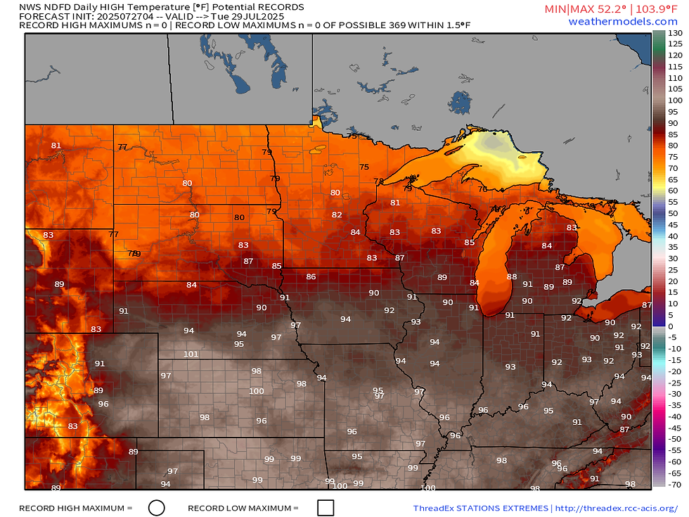
Tuesday, ahead of the next round of storms, temperatures will once again be quite toasty with widespread low-90s once again in place for central/southern Iowa and through much of Missouri and Illinois.

Wednesday, with the clouds and storms in place, we will knock the heat away with cooler temperatures in the upper 70s/low 80s likely. So there's some good news for a change.

This will be the beginning of a rather pronounced pattern change heading into the beginning of August. Below-normal temperatures are likely to make a big return for much of the CONUS late this week into next weekend. Ensemble guidance is quite strong showing this cooldown lingering for a good amount of time.

This is reflected quite well in the latest Climate Prediction Center outlook in the Day 6-10 period (August 1-5). The bullseye for below-normal temperatures is centered right over eastern Iowa. Think cool thoughts, friends.

I'll end with a beautiful rocket launch from Cape Canaveral, Florida very early Saturday morning. While it was pre-dawn and still dark, the rocket arced high into the sky and the second stage exhaust started to rise into the sunlight which, at this point, was high above the horizon still. We call this the "jellyfish effect." They are rare, and always desired!
-Meteorologist Nick Stewart


Comments