


SOMETHING TO WRITE HOME ABOUT...
- Dec 17, 2020
- 4 min read
One of the big reasons I'm spending a winter in Maine is for the opportunity to experience nor'easters that can dump insane amounts of snow. In the Midwest. our moisture necessary for snow must travel 1,000 miles to get here from it's source region the Gulf of Mexico. Where I'm at now, the Atlantic is 2 blocks away so I'm connected to a vast reservoir of latent heat and moisture. That's the combination that leads to intense winter storms and prolific snowfalls of more than 2 feet when a storm takes the bench mark track that takes it close to Cape Cod.
Currently in Portland we are under a winter storm warning for snow totals of 8-12" with winds of up to 35 mph. With temperatures near 20 snow ratios will be very high meaning a fluffy powdery snow is expected that's susceptible to blowing and drifting. This could certainly be something to write home about. Here's the current snowfall forecast.

As I post this at 1:38am Midwest time Thursday morning, snow is yet to start but according to radar it's within 20 miles. I plan to get you some pictures and video of how the storm unfolds and what it looks like here in Portland as Thursday progresses. Stay tuned.
Back in the great Midwest, we saw more of the same Wednesday with periods of clouds and more cold temperatures. Highs were generally in the range of 25-30. A bit below normal but not at all out of line for mid-December. Some sun was seen in my far western counties in Iowa but near and east of the Mississippi low clouds and stratus ruled the day. You can see the cloud deck Wednesday evening covering EC Iowa and all of northern Illinois and southern Wisconsin.

There are signs the clouds should break some Thursday and all areas have a shot at seeing partly sunny skies by afternoon. It won't do much for temperatures however with highs remaining in the upper 20s to low 30s. Nothing special but at least it should be a brighter day.
Friday ahead of a weak disturbance southerly winds return and that will help temperatures rise into the mid 30s to low 40s, coldest where there is snow on the ground.
Friday night and early Saturday, as the next trough passes there is enough lift for another round of clouds and perhaps a rain or snow shower. Moisture is scant and the system weak so little if any precipitation is expected. The EURO shows this for amounts ending at noon Saturday. Nothing to be concerned about here.

The remainder of the weekend looks seasonal and quiet with highs back in the 30s. Outstanding weather for shopping and "safe" holiday events. Early next week the pattern grows warmer as a big push of cold air begins to descend out of Canada. Ahead of the cold air surge Monday and Tuesday we should see highs bounce into the 40s as the 500mb wind flow turns zonal for a couple of days.
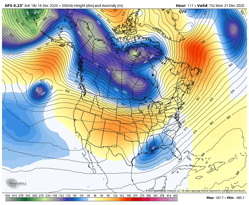
By Christmas the cold air pushes and buckles the 500mb jet into this position on the GFS.

That creates highs only in the teens Christmas day as you can see on the GFS meteogram below.

The EURO which had a high of 9 yesterday on Christmas day has backed off substantially but remains cold with a high of just 23 on the latest run.

The speed and depth of the cold air is still to be determined but it does appear Christmas Eve and Christmas day will not be balmy this year. It also looks like the pattern should remain quiet outside of a few snow flurries Christmas Eve which should make for good holiday traveling conditions throughout the Midwest barring any last minute changes. The EURO has this for projected snowfall through Christmas night. Roll weather...TS

HOW TO GIVE DERECHO 911 WITHOUT THE ACTUAL BOOK.

Mail services are swamped and they say it is now too late in the month to order and receive a copy of my new book, Derecho 911, Iowa's Inland Hurricane for Christmas. However, we have come up with a couple creative ways you can still give the book on the costliest thunderstorm in U.S. history as a gift without the actual book. All you need to do is click derechobook.com and make your order, Then, later this week we will prepare a festive card with a picture of the books cover, Carolyn and myself, and a greeting announcing that whomever (fill in the persons name) is a gift recipient of Derecho 911. Then you print it out, wrap it up, throw on a bow, and use it as a substitute until the book arrives.
2. On top of that, I will also make a broad based video message on YouTube wishing your loved one a merry Christmas with the announcement they are receiving a copy of Derecho 911. I'll send you the YouTube link which they can open and watch when the time comes, rather personal if a dare say so myself. Make it easy on yourself and order one up today, we only have 180 left! Thanks and happy holidays...TS


Comments