


WINTER STORM CHURNS EAST...
- Jan 6, 2024
- 5 min read
By now, everybody has some sort of awareness that a winter storm will impact the Midwest by Tuesday of next week. Entering the final 72-hour stretch, the system is just churning into the West Coast. It's still a long way off, but it is getting into a data rich environment that will allow better sampling going forward. That should tighten the track and take some of the doubt out of what the impacts will be in my local area.
Before we even get to next week, a minor disturbance will bring scattered snow showers to much of the area Saturday and Saturday night. Amounts will be light, generally 1/2 inch or less. In the south, a bit of rain could even mix in. With marginal temperatures, any snow accumulations would generally be no more than a dusting on grassy and elevated surfaces. The hi-res HRRR shows this for snow totals.

The 3k NAM has this.

With plenty of clouds, highs will be in the low to mid 30s over the weekend. Ahead of Tuesday's storm, highs Monday should climb a bit reaching the mid 30s north to around 40 south. The calm before the storm.
WHAT'S NEW WITH TUESDAY'S STORM?
The bottom line for now, is that confidence has increased to moderate on where the critical dynamics set-up that will drive any heavy snow Tuesday. There has been a trend for both the GFS and EURO to inch their tracks a little NW over the past 24 hours. Sometimes, these shifts are nothing more than wobbles. Other times they are solid indicators that models are sniffing out a directional change. Again, the goal from a forecasters perspective is to see several model runs that are consistent before implementing any changes. We are at four consecutive runs where models have shifted the track of Tuesday's storm to the NW...that's the point where I consider it a hard trend. As such, snowfall amounts appear to be 1–2 inches higher in most areas today as compared to 24 hours ago.
LET THE FUN BEGIN
That leads us to Tuesday and the beginning of what is expected to be a period of potentially high impact winter weather lasting up to 10 days. The following animation shows the 500mb jet stream pattern out to January 17th. Low heights dominate the nation as a parade of storms and energy marches across the nation. What an energetic set-up that is!

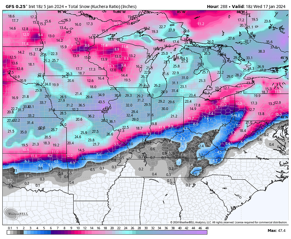
Just to give you an idea of how impressive the potential is, I present to you the GFS deterministic single run snowfall forecast for the period January 9th to the 17th. That's a crazy run. I typically don't put this sort of thing up because of the panic and misinformation if generates. UNDERSTAND, THIS IS NOT A FORECAST! It is nothing more than a single run of a model...raw data that has not been touched or messaged in any way except to say, it represents an exceptional trend. The "value" in a graphic of this sort is to show that the model indicates a very strong trend for significant Midwest snows during the period January 9-17th. Disregard the amounts, they are likely to be significantly less. Yet, even at a 50 percent reduction, (amounts of 12–20 inches in a week) should serve as a heads-up that a potentially snowy period lies ahead. We will know in less than a week.
The GFS shows odds of 6 or more inches of snow in the range of 80-100 percent between January 9th-17th.

Odds of a foot are more are at roughly 40-60 percent.

Getting back to Tuesday, the latest data indicates snowfall totals that should range from 2 to 4 inches NW, to 4–6 inches near the Quad Cities, to 6–8 inches SE in Illinois. This is not the final forecast yet, just what appears likely with nearly 3 days to go. At some point, the NWS will likely enter a winter storm watch for my counties from about the Quad Cities southeast. A winter weather advisory is a good bet for most of the area NW of the Quad Cities. Keep in mind, this is just a preliminary estimate, subject to changes in storm track and intensity over the coming 24-48 hour period. Aside from the snow, winds of 35 mph could blow and drift the snow Tuesday. The latest GFS indicates this for snow totals.

Here's the NBM (National Model Blend) snowfall forecast.

Behind the storm, a couple more snow producing systems are expected mid and late next week. One next Friday has the potential to be quite strong with wind, cold, and significant snow. The track is still in question, but the central Midwest is currently very much in play. Keep an eye on this potential storm around January 12th.

Temperatures will get progressively colder next week as each passing disturbance pulls colder and colder air into the upper Midwest. By January 14th, lows could sink below zero. In fact, the GFS shows highs on January 14th remaining near or a bit below zero.

January 16th, temperatures are running 25 to 33 below normal as shown on the GFS

Wind chills of 30 to 35 below are indicated the morning of January 14th.

As I've been saying for the past week, we are headed into an impactful period of winter weather January 9th to the 20th. I see no reason to back down today. Have a wonderful weekend and roll weather...TS
MAJOR WINTER DEALS AT OUR LITTLE WHITE CHURCH IN GALENA

A HEAVENLY RETREAT
Enjoy some Holiday Magic at the Little White Church of Galena! Terry and I are offering fantastic holiday discounts from now through the end of January. Book now and any weekend from today through January 2024 is $600. That is the total price. The only exception is if you bring Rover. There is a small pet fee. This is a 50% savings, even dear old St. Nick can’t match it!
The Little White Church is a fully renovated 18th century church nestled in the valleys of Jo Daviess county…just a little over five miles to the center of downtown Galena. With all the amenities of a five-star hotel, the Little White Church offers beautiful historic touches with comfort and style. Every group we have hosted to date has given us a perfect 5-star rating. We are considered a Super host by Airbnb.
We have five beds, three full bathrooms, full kitchen with dishware, small appliances, ice maker, a luxurious private master suite with en-suite and private deck, a large main floor deck, attached two-car garage, fire pit, gas grill, and 2700 sq feet of space to sprawl out. You will not find a more modern and historic place to unwind and get away from it all. Furthermore, we are now decorated for the holidays, so keep that holiday spirit going and come join us. Just text me at 563 676 3320. https://www.tswails.com/galena-airbnb
Carolyn


Comments