


NOT MUCH GOING ON....
- Aug 10, 2018
- 1 min read
It is going to be a calm weekend after a stormy start to the week in the Midwest. Sunday night into Monday morning very heavy rain fell across Highway 20.

A few more scattered showers and thunderstorms moved through the Midwest on Tuesday and Thursday. After the rain Tuesday there was a double rainbow over the Cedar Rapids area -
And there were some neat views of the very isolated storms on Thursday.
Unfortunately the places that needed rain the most were missed once again.

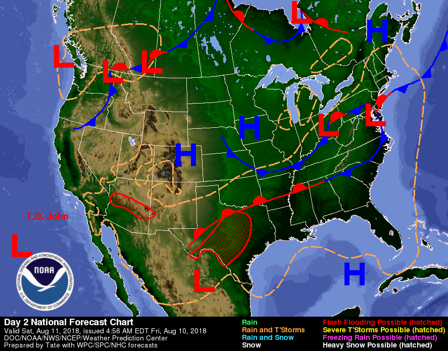
Extreme drought conditions persist across northern Missouri and into parts of extreme southern Iowa. Unfortunately there will not be much relief from the drought in the coming days. High pressure will build in for the weekend and keep the weather calm and dry.
It will still be toasty - it's still summer after all! Temperatures will be above normal and it will be humid. Here's the expected highs on Saturday and Sunday -


Dew points will be in the 60s and 70s and it will feel pretty sticky outside. One positive to the high pressure system being in overhead is that skies will be clear and there will be good viewing for the Perseid meteor shower Saturday and Sunday nights.
The next time rain will be falling from the sky will be with another cold front Tuesday of next week.

In the meantime enjoy the summery weekend up ahead!
RK


Comments