


WHERE ARE YOU, SUMMER?
- Aug 24, 2019
- 2 min read
If you were outside at all on Saturday you might have thought it was September or October.. summer has seemed to have left the building in the Upper Midwest.

All the heat is down south and west. Temperatures are well below normal in the Upper Midwest and the humidity is super low - especially for late August! Now meteorological Fall begins on September 1st and the fall equinox is September 23rd. So.. not totally unusual that we're starting to make the transition. And it will continue...

High pressure (and the warmth) will continue down in the south and west. An area of low pressure (centered in Canada) will take over the Upper Midwest and lead to northwest flow in the upper levels of the atmosphere. Northwest flow typically promotes cool, dry air. So check out the temperatures through the end of August and into September -

Now, there may be some warm warm days in there, but in general temperatures will be below normal. And we will likely end August without a 90-degree day in many Midwest cities. In Cedar Rapids there hasn't been a 90 since July 20th. The last time we didn't have a 90 in August was in 2010. The last 90 in the Quad Cities was also July 20th - last time there was no 90 in August was all the way back in 1981!
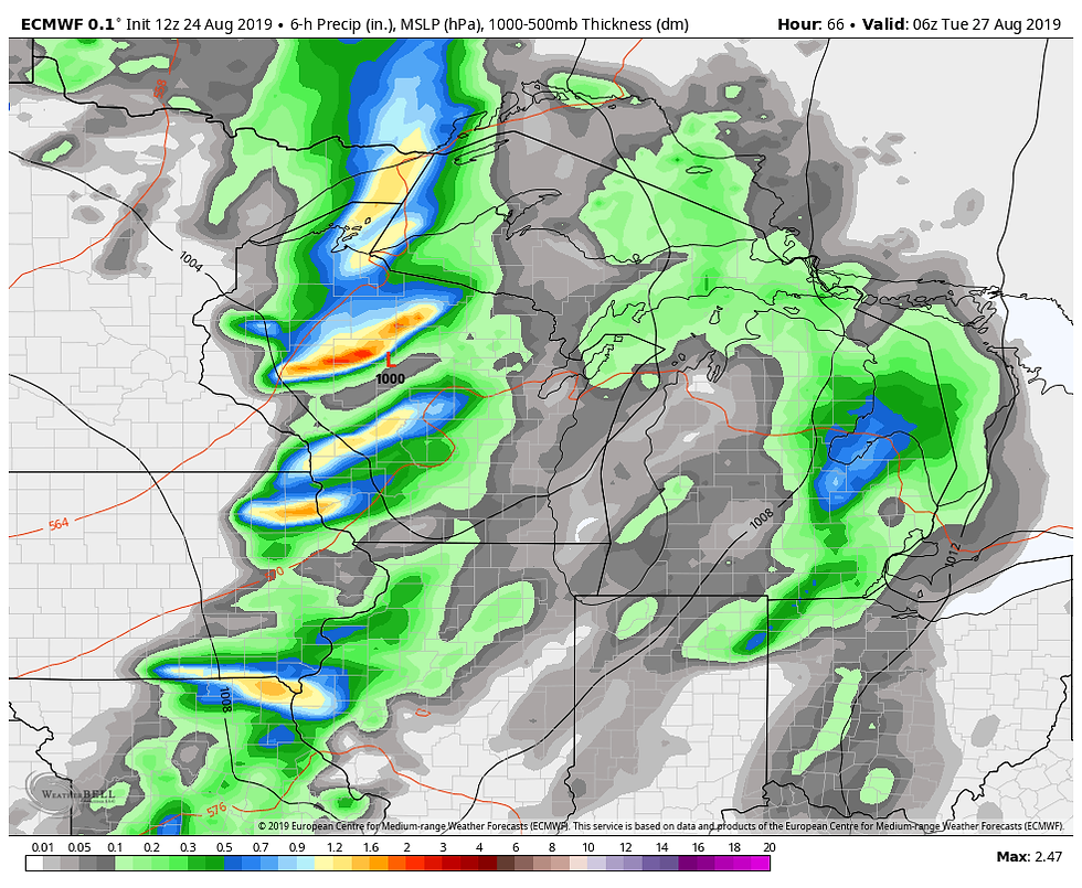
One of the warmer days coming up will be on Monday when a cold front will move through -
Out ahead of the storms it will be warm and muggy. Monday's high temperatures:

And the dew points:

That's a far cry from where we are this weekend with dew points down in the 50s. In general there will be more fall-like weather than summer around here!
RK


Comments