

A STORM IS COMING MY PRETTY

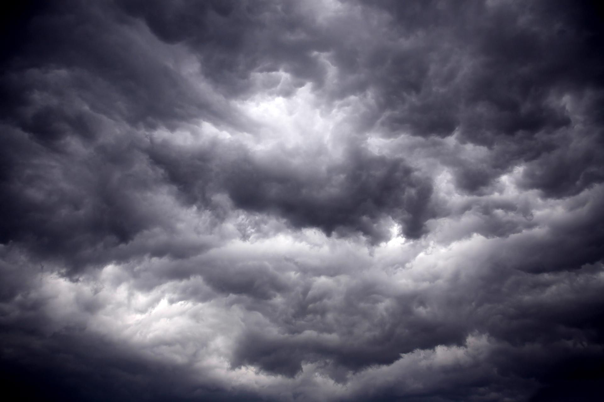
Slowly but surely the regional weather pattern is evolving into one that brings a significant storm to the Midwest next week. And, like the wicked witch of the west says, It will get you my pretty...and it will.
Fortunately, considering it arrives in November, its worst impacts will be a soaking rain and gusty winds, far from the harsher elements of cold and snow which can rear their ugly heads at anytime now.
Before we get to next weeks forecast challenge, most of you are aware that it's Halloween, the time when the boundary between the living and the spirit world grows thin on the night of October 31st. Today it's largely a secular and social holiday aimed at good old spooky fun. We celebrate by dressing up in costumes, carving jack-o'-lanterns, going trick-or-treating, attending parties, and watching scary movies. It's a massive commercial success ranking as the second-largest holiday aside from Christmas. All told, we spend 13.5 billion on Halloween, most of it on costumes, decorations, and candy.

With the investiture of time and money being so great, the weather forecast on Halloween takes on far greater importance than most other days. Nobody wants their date with the dark side dampened by rain or for that matter, cold and snow. From the looks of things, the worst aspect of this years weather will be the potential for scattered showers and a few garden variety storms along a slow moving warm front. Overnight some of these have already popped up and the remnants should roam parts of the region Saturday morning. As the day wears on, the boundary lifts further north which should shift the focus of the rain shield into the northern 1/2 to 1/3 of my area in the afternoon. In general, guidance has it diminishing in most spots by sunset (or trick or treating). A cannot say a few showers won't linger, but they appear light and widely scattered. You might keep a raincoat handy, but hopefully you won't need to break it out.
As for temperatures, they appear to warm some compared to Friday with the warm advection slowly pushng north. Highs should range from 58 north to 65 south. Between 5:00 and 8:00pm, during the peak of trick of treating, readings will only be a few degrees cooler inching into the category of 54 north to 61 south. Winds will be out of the southeast at 10mph. If we can avoid any lingering showers, it should actually be a decent evening in terms of temperatures.
For the most part, Sunday is quiet mild day ahead of next weeks storm. Highs will likely be well into the 60s (64 to 69) which is a great way to kick off November. Also, we turn our clocks back an hour Sunday with daylight savings time over for another year. It will be dark shortly after 5:00pm which is a bummer there is no way around.

THE RAIN IN THE PLAINS MOVES EAST...
Okay my pretty, back to our storm. The latest trends bring rich tropical laden moisture into the region Monday. That results in increasing cloudiness but outside of a few showers in the west, the more substantial rain kicks in Monday night with the initial wave of warm air advection. Once in place, high levels of moisture remain on the EURO into early Thursday. For sure this will not be a pretty period loaded with clouds and occasional periods of rain, perhaps even a few embedded thunderstorms. We are still trying to tighten the timing and track of the system to get a better handle on where the axis of heaviest rain will fall.
The EURO ensemble still favors my region for a solid 1-2 inches of rain Monday night into early early Thursday. That's based on 51 members that still show enough variance to keep amounts significant but manageable.

On the other hand, looking at the single run of the deterministic EURO which is less reliable at this distance, the track and intensity of the storm yields some impressive rain numbers on the order of 2-5 inches. I'm not convinced yet that we get to those higher figures. That's far more than a soaker!

With the storm still about 70 hours away, the rain numbers will fluctuate some in coming runs. That said, the EURO has consistently been dialed in on my area for the heart of a heavy November rain event.
Less phasing has also limited the amount of cold air that can follow the system and today the GFS shows nothing worse than 59 for a high through November 12th. That is a much warmer trend than either it or the EURO was showing just 2 or 3 days ago. So while it will be wet to start next week, it will be mild with cold air shunted away in a split flow pattern.

With that, here's hoping you all have a spooktacular Halloween and you have the wherewithal to set your clocks back tomorrow night. I have one that's a real pain and is not long for my house. It's plus is that it is large and easy for an old dude like me to read. Roll weather....TS


Comments