


ACTIVE PATTERN UNFOLDS THIS WEEK....
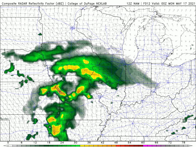
There will be almost daily chances for rain this week in the Midwest. However, rain will be pretty scattered in nature and not everyone will see rain every day. The reason why is a stalled frontal boundary will be nearby and lead to moisture and lift for showers and storms:

There will be the chance for rain into Monday morning and then scattered showers pretty much each day thereafter:
We'll have to resolve those daily chances for rain day by day, but there will be more widespread, heavier activity in the south closer to the actual boundary.
Here's a look at the rainfall totals on the GFS:

And Euro:

There are some differences in the extent of the heavy rain to the north of Highway 30, but the trend is there. So, areas in the south which have had plenty of rain may be dealing with some creek rises/flooding issues. Further to the north where rain has been scarce... drought conditions may just worsen.
The good news for everyone is that it does get warmer. Here's a look at the ten day trend for Cedar Rapids:

And for the Quad Cities:

70s and 80s are finally back in the forecast!
RK


