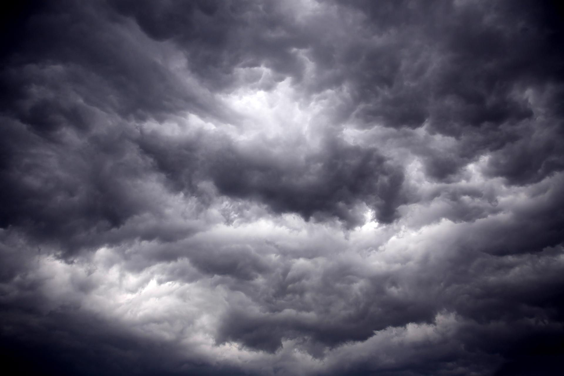


AN UPPER-MIDWEST STORM IS COMING

We are going to kick off November with some excitement across the region with a fairly strong storm system bringing rainfall and strong wind gusts to the region. Through Wednesday, the sound of the spam election calls and texts will join the sound of the wind as we will be dealing with a pretty good storm for this time of year! Without the cold air in place, this will be a rainy affair, but it could set a good precedent for the winter to come.

A big bowling ball in the upper levels will move through the Midwest Tuesday/Wednesday. Ahead of this, strong southwesterly flow will transport the moisture and warmth needed to generate widespread heavy rainfall to the region. Note there's not a lot of strong northwesterly flow behind it, keeping temperatures somewhat muted heading into the late week.

Looking at some of the global models, there is a decent spread still in total rainfall for the Quad Cities region. The Euro is quite bullish with rainfall approaching 1"+, however the GFS is less than 0.5". I will feel better about rain totals once we get in range of the high-resolution convective models.
In terms of timing, we start seeing rain move in late Monday and continuing through Tuesday. A messy Election Day is likely for the ragion. By Wednesday morning, most of the rain begins to move out.

Official forecast data from the Weather Prediction Center has eastern Iowa in the 0.75" to 1.0" range with lesser totals towards the Mississippi River. The Quad Cities, for example, are about 0.5". The phasing, strength and timing of the storm will ultimately decide total rainfall so we will just keep a watchful eye on trends.
It's a faster-moving system, therefore flooding rains are unlikely as it does not sit around and dump rain for a long period of time. With that said, given the upper-air support, severe weather is not impossible with any thunderstorms that can develop and get organized, although the risk is quite low at this time.


Officially, there is a Marginal Risk (level 1 of 5) of severe weather Monday for southwest Iowa and western Missouri. Tuesday we just have a general thunderstorm risk overhead with a Marginal Risk south of St. Louis. This looks more like elevated thunderstorms capable of locally heavy rain, but we will watch and potential severe potential closely. Limited instability is likely a limiting factor to more organized severe weather as cloud cover will keep things in check.

By afternoon Monday we will really start dealing with strong southwestetly wind gusts pumping in the moisture and warmer temperatures. Gusts topping 40mph will be likely Monday and Monday night. If you habe any Halloween decorations outdoors, today would be a good day to bring them inside.

Tuesday, before the cold front passes through, we will still be dealing with wind gusts in the 30-40mph range as the rain really begins to move in. A really messy Election Day is likely for much of the region.

On the back side of the system, the wind will shift northwesterly and be rather gusty around 25-35mph. Not sure much of the autumn color on the trees will survive through Wednesday as the wind will do a good job cleaning up.

Temperatures again don't fall off a cliff after this system with low 60s likely through much of the week with mainly cloudy skies past the rain event to kick off the work week.
Happy Sunday!
-Meteorologist Nick Stewart


Comments