NOT MUCH TO SAY UNTIL FRIDAY....
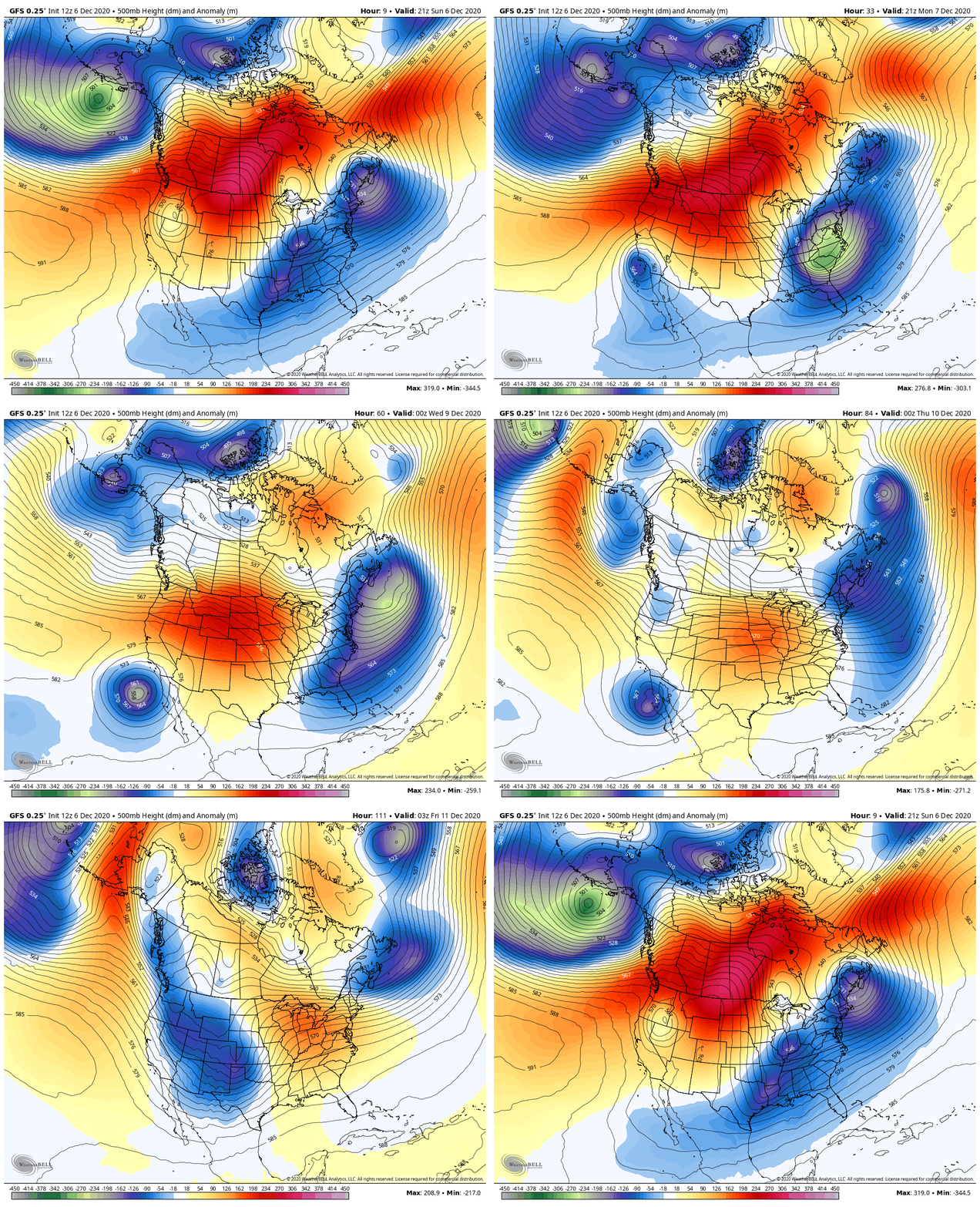
The calm weather continues to start the new week in the Midwest. Temperatures will remain near and above normal. The one disruption comes with a storm on Friday. So currently we have high pressure at the surface and in the upper levels which will keep everything rather quiet until Friday.

Here's a look at the temperatures to see the trend of the upcoming week. Temperatures for Cedar Rapids:

And the Quad Cities:

Little to no precipitation is expected until Friday with high pressure in control:

A storm will then move through the Midwest on Friday. There are still A LOT of question marks about this system right now. And we've got time to sort out the details. There are questions about how strong the storm gets and the exact track of it. Here's how things stand right now.
A look at the storm on Friday via the GFS:

And on the European:

The GFS has a stronger storm that is further south compared to the weaker system on the Euro. Time will tell which one is right and we'll continue to update you on this system as the week goes on.
RK


