


DEATH OF A STORM....(A POST MORTEM)
- Mar 1, 2018
- 2 min read
Just a few days ago (Sunday to be exact) our models were showing a significant storm developing that was expected to bring heavy precipitation and perhaps significant snow to parts of the Midwest by Thursday. Below you can see the powerful 987mb low the GFS tracks through Missouri and Illinois.

The model generated total precipitation totals approaching 2" in my area.

The rain was shown changing to snow with accumulations of 4-12" over a large part of my region.

Today's GFS shows this for total precipitation ( a huge change from above) and of course has no snow at all over Iowa.

In general, 3 days from the event models are usually pretty good at showing reliable trends. In other words, it may still be a challenge to predict the exact location of the storm and its precipitation but typically the rain and snow will come to somebody close by.
Not in this case and here's why. The data we were looking at over the weekend and even into early week, was showing a merger of the northern and southern branches of the jet known as the sub-tropical and polar jets. That process would have generated a closed 500mb low just east of my area. You can see it here in Illinois. The merger of the streams is what we call phasing. Colder air from the polar jet is tangling with warm moist air in the sub-tropical stream to form a potent storm

Well, as you have figured out by now the phasing did not occur (it will further to the east) resulting in minimal precipitation, and no snow. This was a dud for my area. The trend to a weaker system started showing up Tuesday and with each passing run became more pronounced. In fact, the writing of the storms demise was on the wall for my area by Wednesday...which I told you about in my last post.
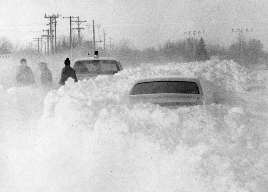
Just to give you an idea of what phasing looks like at the jet stream level, I've included an animation of a January 1978 superstorm that brought a vicious blizzard to the Great Lakes and Ohio Valley. On the 25th you can see energy diving in from the north on the polar jet and then merging the 26th with energy in the sub-tropical jet coming out of the southwest. When the 2 married a deep closed 500 mb low formed over Ohio. In parts of Michigan 80 mph winds and up to 3 feet of snow brought the state to a standstill. The merger of the 2 energy fields caused extreme intensification of the storm which produced a central low pressure of 28.28"

Here's some images of what can happen when jets phase together just right as they did in 1978.


Well, just wanted to fill you in on the complexities of meteorology. My job is never boring and far from perfect. But, it doesn't stop me from trying to master the art of forecasting. On to the next challenge. Roll weather...TS


Comments