


THE CHRISTMAS DEEP FREEZE...
- Dec 23, 2022
- 3 min read
The pre-Christmas storm is pulling slowly away from the Midwest Friday morning. Outside of a few snow showers or flurries, accumulating snow has ended. The focus now has turned to the wind and cold that will keep the region in the deep freeze through Christmas day.
As for snow, this was not a major event but most areas did pick-up 2-5" of powder. The heavier amounts were in the NW half of my area. It will be a white Christmas for all this year!

Here's a larger perspective of reported amounts around the Midwest through Thursday evening.

By the way, this was the official NWS snowfall forecast which in general had the right idea. One of the regions that it did bust in was my area (Dubuque). Here, all the major models including the NWS forecast, were indicating a solid 6 inches. I would say no more than 2 to 2.5 inches came down at my place. Snow does not like me! Oh well....

After highs early Thursday in the range of 25-30 degrees in my area, readings went down the rabbit hole in a hurry as the Arctic front passed. By Thursday evening readings were down 35-40 degrees pushing 10 below in most spots. Here's the change.

If that wasn't bad enough, thanks to wind chills of 30-40 below, it felt at least 50 degrees colder in the evening than it did in the early morning.
We are now getting set for what will be one of the coldest pre-Christmas periods in the past 40 years, possibly the coldest since 1989. This is what the EURO is indicating for readings in Cedar Rapids. Many spots won't get above zero Friday, barely reach the single digits Christmas Eve day, before finally approaching the 10-15 degree category Christmas. As you can see we'll have 4 consecutive days with below zero temperatures.

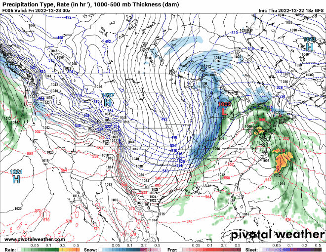
Now, what about wind. This monstrous wind machine is only gradually going to relax. In this animation you can see the tight pressure gradient between the Arctic high pressure to the west and the low pressure center to the east ever so slowly spinning into Canada. The process of balancing the pressure gradient takes all of Friday and Saturday before we see significant progress in wind reduction Christmas day.
That means wind and cold dominate the period. Gusts of 40mph+ should last into Saturday night creating blowing and drifting snow and periods of reduced visibility and poor travel conditions in the open country. Blizzard and winter storm warnings remain in effect for many parts of the region where periodic white out conditions are possible in rural areas susceptible to wind. These are most like to occur in counties under blizzard warnings. Travel is possible but not advised due to the danger of extreme wind chills.


The next chance for any snow comes later Christmas night when a clipper dives in from the northwest. A band of 1-3 inch snow is possible somewhere north of the surface low track. That is still to be defined but it should be close enough for much of my area to at least get a crack at light snow Sunday night or early Monday. Here's what the EURO and GFS suggest for potential accumulations.
The EURO

The GFS

Once the clipper passes the pattern undergoes significant de-amplification next week as the MJO cycles into phases 5 and 6 to end December. That indicates a warming trend and a nice thaw for us.

Here's what the Cedar Rapids meteogram shows for temperatures into January 1st. From the freezer to the frying pan (if you consider a 44 degree high frying pan material).

Well, that's all for now. Got some last minute Christmas concerns to attend to. This storm has consumed me and put me behind the eight ball. Stay safe and warm everyone. Roll weather...TS


Comments